
El Torcal de Antequera:
The Complete Guide to Spain’s Most Spectacular Karst Landscape
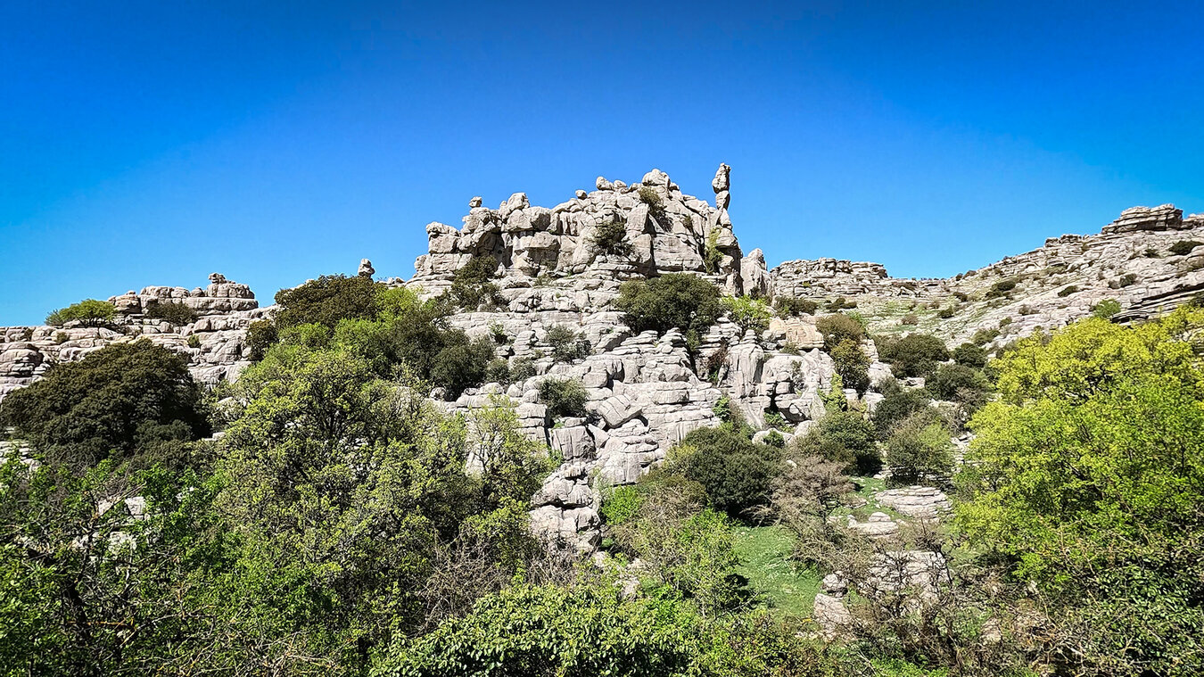
Some places you see once and never forget. El Torcal de Antequera is one of them. A karst landscape 1,200 metres above sea level, where rock formations sculpted from 150-million-year-old coral reefs rise above the high plateau, griffon vultures wheel overhead, and the microclimate can swing from sun to fog to rain within a single hour. A patch of earth that was once the floor of the Jurassic sea 200 million years ago — and today ranks among Andalusia’s most striking natural parks.
Understanding El Torcal takes more than a quick summary. This guide covers it all: hiking routes and difficulty levels, the UNESCO World Heritage dolmens down in the valley, driving directions, the best time to visit, free admission, Antequera’s culinary specialities, and the story of a town that has been inhabited for 6,000 years.
What Is El Torcal de Antequera?
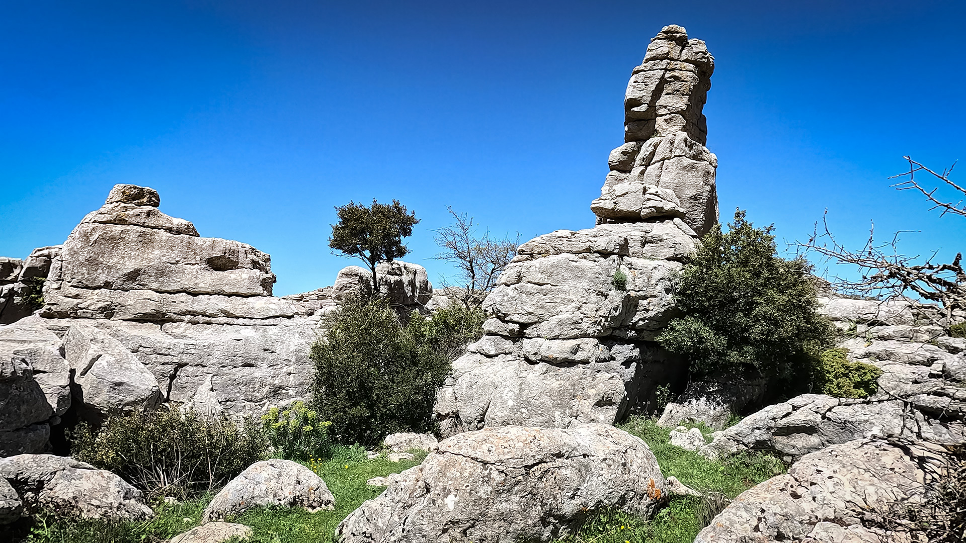
El Torcal de Antequera is a natural park in the Sierra del Torcal, around 13 kilometres south of the town of Antequera in the province of Málaga. It covers 12 square kilometres of protected land on a high plateau between 1,000 and 1,339 metres, with Camorro Alto as its highest point. What sets it apart is its karst landscape: over 150 million years, water, wind and frost have carved the Jurassic limestone into a landscape that looks like a petrified city, complete with towers, columns, sculptures and labyrinths.
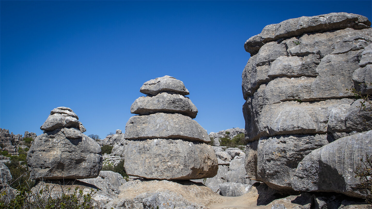
Take the A-92 exit for Antequera and follow the A-7075 and A-7283 uphill, and within 30 minutes you’ll witness one of the most dramatic shifts in vegetation and scenery in all of Andalusia: from the olive groves of the Vega de Antequera up into an alpine karst landscape of rocks with names of their own – El Tornillo (‘the screw’), El Sombrerillo (‘the little hat’), La Esfinge (‘the sphinx’). El Torcal isn’t just a hiking destination — it’s a stage on which the Earth’s history becomes visible.
Key Facts about El Torcal de Antequera
Area: 12 km² natural park (Paraje Natural since 1929, Reserva Natural since 1989)
Highest point: Camorro Alto, 1,339 metres
Plateau elevation: 1,000–1,200 metres
The Karst Landscape: Heart of the Natural Park
What today rises as a forest of stone sculptures above the Vega de Antequera was, 200 million years ago, the floor of a warm, shallow sea. Limestone layers many hundreds of metres thick built up in the coral reefs of that Jurassic period. It wasn’t until the Alpine mountain-building phase 17 to 20 million years ago that these layers were pushed up, folded and raised into mountains. Ever since, water has been at work — every raindrop slightly acidic from dissolved carbon dioxide in the air — eroding the limestone into a landscape geologists call karst: pitted, layered, sculptural.
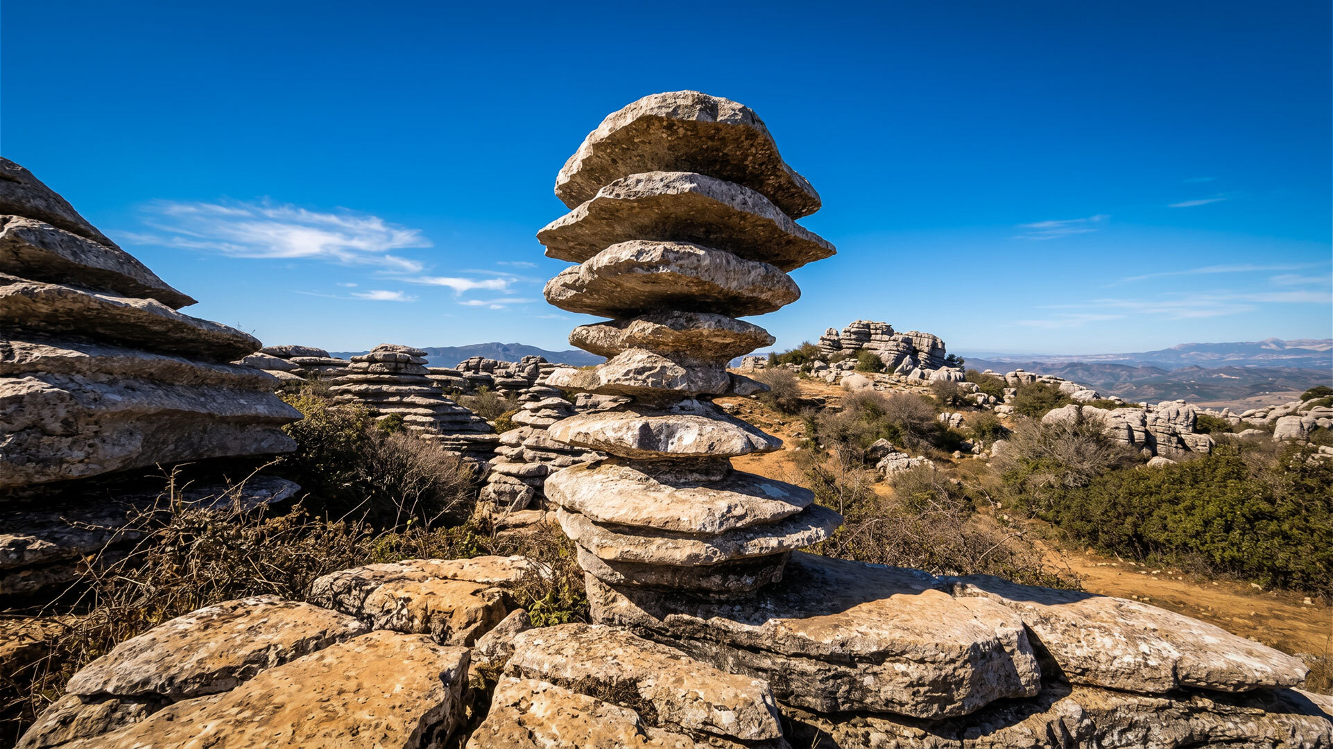
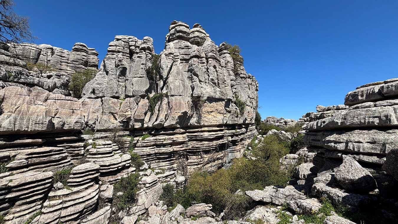
The most striking rock formations appear where water erodes faster along joints and bedding planes than elsewhere. El Tornillo is the most famous of them all — a 5-metre rock tower of stacked plates that looks as though it has been screwed straight out of the ground. Las Meninas is a cluster of rocks that echoes Velázquez’s ladies-in-waiting. Dripstone formations and sphinx-shaped rocks are scattered across the plateau, turning every hike into a walk through a gallery of natural sculpture.
Hiking in El Torcal de Antequera: Three Trails across the Karst
Three routes open up the karst plateau – all starting at the visitor centre at 1,200 metres. Important: Marked applies only to the two shorter trails; the long loop is partly pathless and requires a GPS track and experience. The three main routes at a glance:
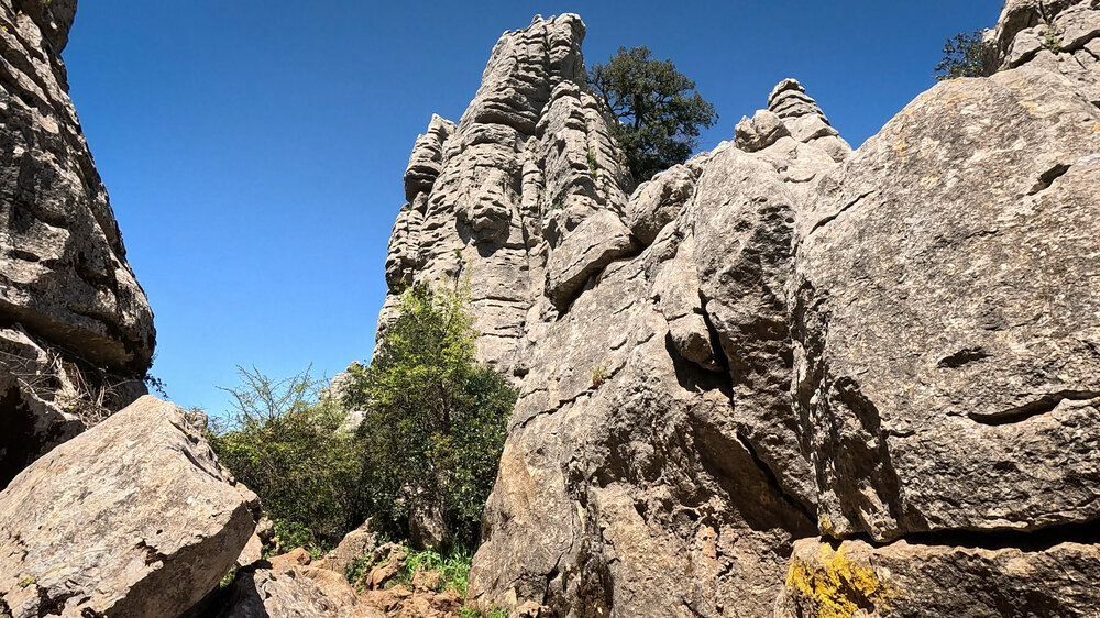
Ruta Verde (green) in El Torcal de Antequera
1.8 km · 45 min · easy · largely accessible – the perfect introduction, best views with minimal effort.
Ruta Amarilla (yellow) in El Torcal de Antequera
3.1 km · 1.5–2 hrs · moderate – leads through the most spectacular rock formations, including El Tornillo and Las Meninas.
The Long Loop through El Torcal de Antequera
8.6 km · 4–5 hrs · difficult · partly pathless – only for experienced hikers with a GPS track and plenty of water.
What really belongs in your pack: Sturdy hiking boots are a must – the karst is sharp-edged and slippery. Bring water: there are no springs on the plateau
UNESCO World Heritage: The Dolmens of Antequera
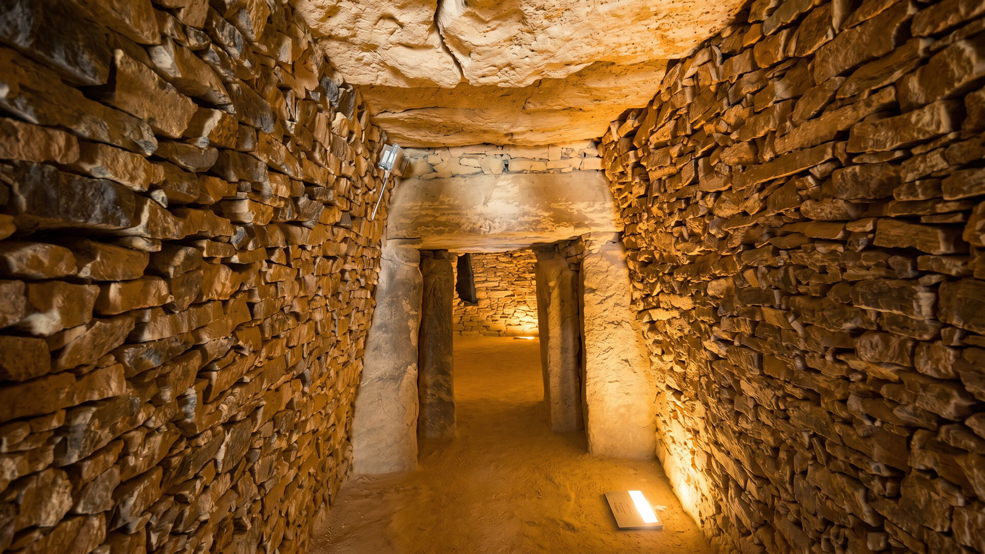
Just a 15-minute drive from the karst plateau lies the region’s UNESCO World Heritage Site: officially named the “Sitio de los Dólmenes de Antequera” (Antequera Dolmens Site), an ensemble of three megalithic tombs and two natural landmarks. The site was inscribed on the World Heritage List on 15 July 2016 — not only for the scale and engineering of the dolmens, but for their unique astronomical alignment with the two landscape features that define the region: El Torcal and the Peña de los Enamorados.
Admission to all three dolmens and the visitor centre is free (Tuesday to Sunday, closed Mondays). Two hours are enough for a focused visit. To experience both World Heritage highlights — karst and dolmens — in a single day, start the morning in El Torcal and visit the megalithic tombs in the valley in the afternoon.
The Five Components of the World Heritage Site:
Dolmen de Menga – Europe’s largest megalithic tomb, built around 3700 BC, with a 180-tonne capstone. Dolmen de Viera – around 3500 BC, a 21-metre corridor precisely aligned with the equinox sunrise. Tholos de El Romeral – a later domed tomb, around 2500 BC, with two round chambers. El Torcal – one of the two natural landmarks, aligned with the Dolmen de Viera. Peña de los Enamorados – the second landmark, aligned with the Dolmen de Menga.
Weather and the Best Time to Visit
El Torcal has its own microclimate, quite different from what you’ll find down in Antequera or along the Costa del Sol. At 1,200 metres, temperatures drop by an average of 5–10°C compared to the Vega below. Clouds often sit right on the plateau, and the wind is a constant companion. Summers can still turn hot (up to 30°C), while winter occasionally brings snow.
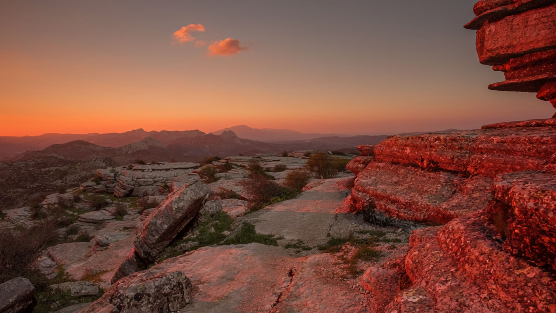
The best months are April to June and September to November. In spring, over 30 species of wild orchid (Orchis langei, Anacamptis champagneuxii, Ophrys speculum, among others) bloom among the rocks, with peak flowering between March and May. In autumn, visibility often stretches all the way to the Sierra Nevada, and the vultures are especially active. In July and August, start very early (before 9am) — after 11am the plateau and car park fill up fast, and the heat on the open karst becomes exhausting.
Getting There: By Car, Bus or Day Trip
From Málaga (50 minutes): take the A-45 north, exit at Antequera, then follow the A-7075 and A-7283 up to the natural park. The final stretch is winding but well surfaced. From Seville (1.5 hours): A-92 to Antequera. From Granada (1.5 hours): A-92 westbound. Motorhomes are best parked in the lower car park — the last bends up are narrow. The upper car park at the visitor centre (1,200m) fills up from 10am on weekends; getting there earlier pays off.
El Torcal isn’t directly reachable by public bus. Travelling without a rental car, book a guided day tour from Málaga or Antequera (via GetYourGuide, for instance). Antequera’s local train station is in the town centre — from there, the natural park is reachable by taxi (around €25 one way) or a day tour. Antequera station itself is 90 minutes from Madrid and 26 minutes from Málaga by AVE high-speed train.
Day Trips: What to Experience from Antequera
Antequera’s central location makes it the perfect base for day trips. The top 5 destinations within a 30–90 minute drive: UNESCO Dolmens of Antequera (5 min, edge of town) – Menga, Viera, El Romeral, free entry, 2-hour visit. Málaga (50 min by car, 26 min by AVE) – Picasso Museum, Alcazaba fortress, harbour, Cathedral, Centre Pompidou.
Granada (1.5 hrs, Alhambra), Córdoba (1.5 hrs, Mezquita) and Seville (1.5 hrs, Cathedral & Alcázar) also work well as day trips – and by AVE, Málaga is just 26 minutes away.
Antequera: Gateway to the Torcal
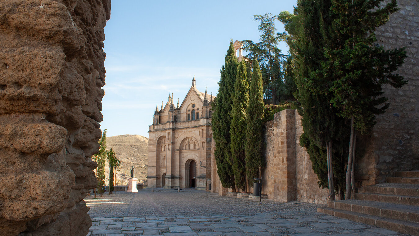
Antequera itself — a town of 41,000 people at the foot of the karst massif — is far more than a stopover. It’s also known as the “heart of Andalusia”, lying at the geographic heart of Seville, Granada, Córdoba and Málaga, each less than 90 minutes’ drive away. Its Moorish past is still visible: the 14th-century Alcazaba crowns the old town, and the Arco de los Gigantes (the “Gate of the Giants”) frames the entrance to the fortress.
With its 33 churches and monasteries, the old town is often called the “City of Bell Towers”. Architectural highlights include the Colegiata Santa María (one of Andalusia’s first Renaissance churches), the 19th-century Plaza de Toros (one of Spain’s oldest bullrings), and the many taverns around Plaza San Sebastián serving local specialities: porra antequerana (a cold tomato soup made with DOP olive oil), bienmesabe (an almond dessert), and mollete (the region’s traditional soft bread).
Olive Oil, Wine and Culinary Identity
Drive out of Antequera in any direction and you’ll see silvery-green olive groves stretching to the horizon. Since 2005, the Vega de Antequera has held the Denominación de Origen Protegida (DOP) Antequera, an EU-protected designation of origin for olive oil made from over 90% Hojiblanca olives, a variety that may have originated here some 2,000 years ago. Fossilised olive pits found in the ruins of Roman oil mills confirm cultivation dating back to the 1st century AD. The oil is characteristically green and fruity, with notes of almond and banana, a light bitterness, and an acidity below 0.3% — far under the legal minimum requirements.
Tastings are available at certified oil mills (list at doantequera.org); a 500ml bottle of premium DOP oil costs €8–15 direct from the producer. In Antequera’s old town, delicatessens around Plaza de San Sebastián and Calle Encarnación stock DOP oils from all the region’s major producers.

Practical Travel Tips
El Torcal natural park is open daily and admission is free. The visitor centre at 1,200 m is open daily from 10am to 5pm (until 7pm in summer). Special guided tours (geology, astronomy, night hikes) carry a fee and can be booked via torcaldeantequera.com. The planetarium in the visitor centre costs €5 per person.
The marked trails aren’t technically difficult, but the karst is sharp-edged and slippery after rain. Sturdy hiking boots are essential – sandals and trainers won’t do. For the long loop, be sure to download a GPS track. In summer, bring sun protection and at least 1.5 litres of water per person – there are no springs on the plateau. Emergency number: 112.
The Ruta Verde (1.8 km) is ideal for families – it’s mostly level, clearly marked and leads to the finest viewpoints. The visitor centre offers interactive exhibitions on the park’s geology, animals and plants. Pushchairs are possible on parts of the Ruta Verde, though it’s bumpy going. Take care near rock edges – there are no guard rails on the plateau.
Four Themed Worlds – One Guide
Ruta Verde, Ruta Amarilla, the Long Loop, guided tours, GPS tracks, safety rules and the best time of day for every stretch of trail.
Karst geology, El Tornillo and the other sculpted rocks, birds of prey and ibex, wild orchids and endemic karst plants such as Linaria anticaria and Saxifraga biternata.
The UNESCO dolmens Menga, Viera and El Romeral, Caminito del Rey, Málaga day trip, Fuente de Piedra flamingos, Lobo Park and Granada-Córdoba-Seville by AVE.
The town’s history, DOP olive oil, taverns and old-town specialities, the Alcazaba, the legends of the Peña and the Menga – deeply researched background articles on the region.
Flora & Fauna in El Torcal de Antequera
Circling above the plateau are griffon vultures (Gyps fulvus) – with wingspans of up to 2.80 metres, one of Andalusia’s largest breeding colonies. Not to be confused with Egyptian vultures: griffon vultures are considerably larger, light brown, with a whitish neck ruff. Watch carefully in spring or late summer and you’ll often see 20–30 birds circling in the thermals at once.
All of Andalusia in a Single Day
El Torcal de Antequera is one of Andalusia’s most striking natural destinations – and at the same time one of its most underrated. Stand once on the plateau at 1,200 metres among the 150-million-year-old limestone formations, with griffon vultures circling in the thermals and Antequera lying 1,000 metres below, and you’ll understand why UNESCO declared this region a World Heritage Site in 2016. You don’t need a week’s holiday to experience El Torcal – but stay overnight in Antequera and within a 30-minute drive you have karst, dolmens, a cliff walk, a flamingo lagoon and one of Europe’s oldest olive-oil regions. One final recommendation: to see the full picture of the region, plan two full days. Day one: the El Torcal karst in the morning, the UNESCO dolmens in the valley in the afternoon. Day two: the Caminito del Rey or an AVE sprint to Málaga. Antequera is not the tourist-brochure Andalusia – it is the geographic centre where karst, megaliths, olive oil and history come together in such a compact space.