Rock formations in El Torcal – El Tornillo, El Sombrerillo, Las Meninas and more
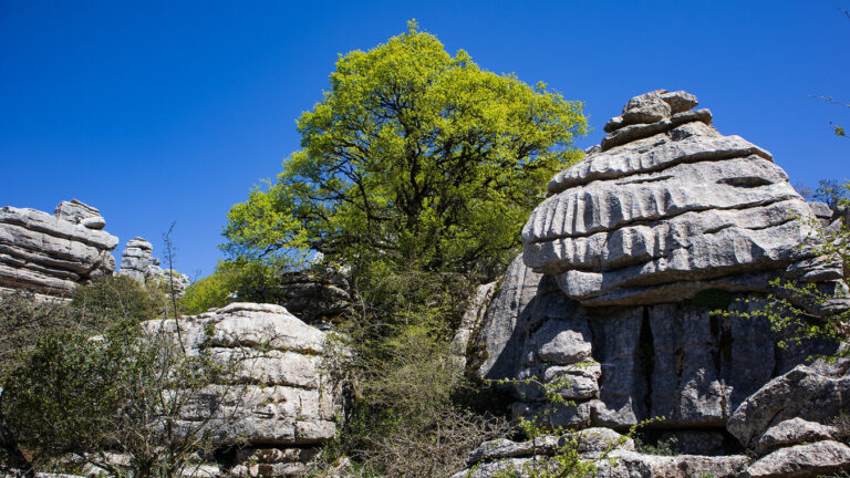
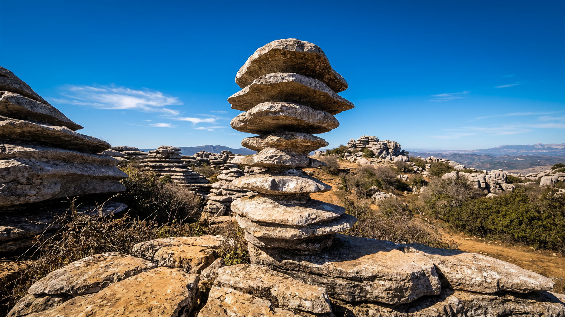
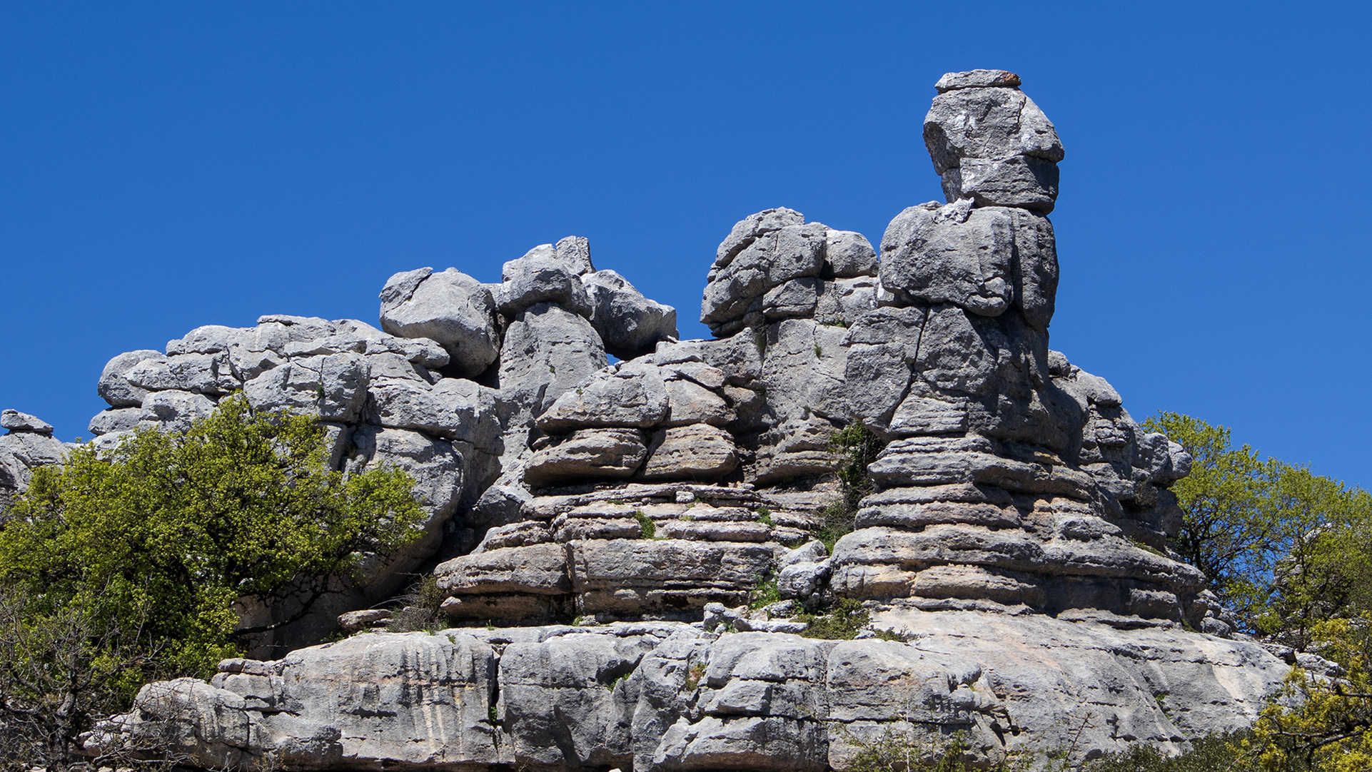
There are rocks in El Torcal that look as though they’ve been placed there deliberately. Not by chance, not through growth – as if someone had carefully arranged a screw, a little hat, a group of giant heads across the karst landscape. El Tornillo is even officially protected as a natural monument – a single rock with its own protected status.
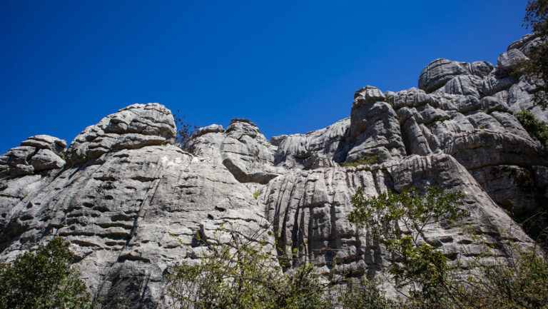
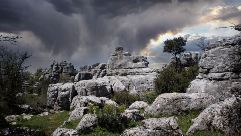
These names aren’t tourist labelling. They developed over centuries among shepherds, walkers and geologists, because erosion here has shaped sculptures that look like something. A screw. A little hat. A sphinx. A tobacco alley. Rock formations in El Torcal have names like paintings in a museum – and each one tells a different story: about the geology, about the shepherds who named them, or about the route on which it lies.
How karst sculptures form
The rock formations in El Torcal are the result of a 200-million-year-long history. 150 to 200 million years ago, what is now the province of Málaga was covered by the Tethys Sea. Shells, micro-organisms and lime particles were deposited and formed horizontal layers of limestone. Around 60 million years ago, the Alpine mountain-building began: the African plate pushed northwards, forcing the layers upwards and folding them into hills. Expansion joints formed within the layers, into which rainwater later penetrated.
Four stages, from the Tethys Sea to today
The real karst work begins in these joints. Rainwater absorbs carbon dioxide from the air and becomes weak carbonic acid. This acid dissolves limestone – not quickly, but relentlessly. The joints widen into alleys, and softer layers dissolve faster than harder ones. Frost splits off additional blocks. What remains are today’s columns, towers, basins and sculptures at an altitude of 1,100 to 1,400 metres – a karst landscape that ranks among the most impressive in Europe.
The three landmarks: El Tornillo, Sombrerillo, Las Meninas
If you only have an hour, there’s no getting around these three formations. They are the park’s most photographed sculptures – and each one illustrates a different aspect of karst geology.
El Tornillo – the screw as a natural monument
El Tornillo, “the screw”, is the official landmark of El Torcal: a rock just under three metres high, with limestone layers so regularly staggered that it looks like a screw thread. It is designated a Monumento Natural – a rock with its own protected status, alongside the nature park surrounding it. The TorcalExpress tour from the visitor centre leads directly to it in 90 minutes. Under your own steam, the screw can also be reached from the Ruta Amarilla.
El Sombrerillo – the floating little hat
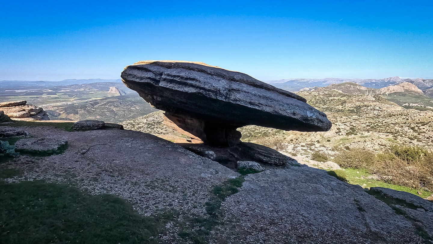
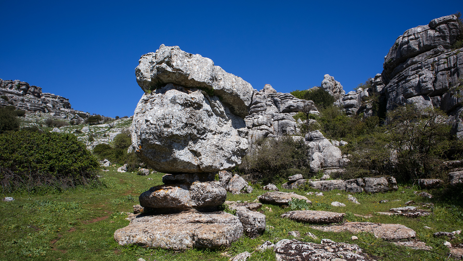
El Sombrerillo, “the little hat”, is the park’s most photogenic rock platform: a broad slab of stone that rests almost weightlessly on a narrower base – like a mushroom that has grown too big for its stem. Look closely and you’ll spot a fossilised ammonite in the rock beneath the slab. The entire layer in which El Sombrerillo stands is full of such fossils from the Jurassic period. On the Ruta Amarilla, the formation lies in the second third of the route, clearly visible from the path.
Las Meninas – the rock group of giant heads
Las Meninas bears an unusual name: after the Velázquez painting depicting the ladies-in-waiting of a Spanish infanta. The rock group consists of several large, rounded limestone blocks standing side by side, which in profile really do resemble powdered giant heads with tall hairstyles. On the short Ruta Verde, Las Meninas is the cover image, as it stands directly on the path.
Animal shapes and stone buildings
Beyond the three landmarks, shepherds and early walkers gave names to other striking rocks – names that are often preserved today in Sunhikes’ route descriptions.
Sphinx, eagle, she-wolf – rocks with animal names
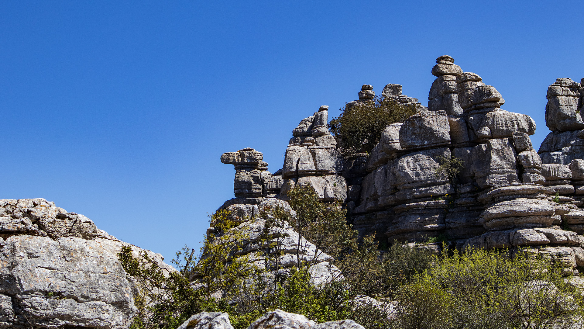
La Esfinge, “the sphinx”, lies in the southern Torcal Alto – a rock with an elongated body and an upright head. La Loba, “the she-wolf”, is a squat block with a recognisable snout. El Adelantado, also known as “the eagle”, is a lookout rock from which birds of prey do indeed often circle. El Indio and El Centinela stand like sentries at the edge of a gorge. A little more hidden are El Lagarto (“the lizard”), La Paloma (“the dove”) and – with rather less dignity – El Falo and El Abrelatas. The names reveal that the rocks weren’t named by tourism managers, but by shepherds.
Casa del Guarda, Casa de Gaudí, Las Catedrales
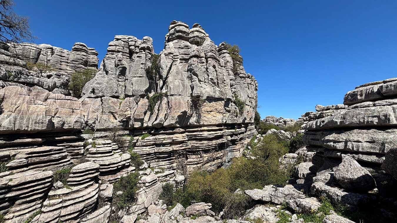
Some rocks look like buildings. La Casa del Guarda has a distinct chimney – a narrow rock head perched on top of a rectangular block. La Casa de Gaudí is reminiscent of the flowing walls of the Catalan architect: soft, curved rock forms on the edge of a gorge. Las Catedrales are tall, slender rock walls like cathedral towers, 30 to 40 metres high, at their most impressive in a rocky ravine on the Grand Circuit. La Maceta (“the flowerpot”) and La Copa (“the wine glass”) are named after their shape, as are El Cubo and El Dado after their cube-like form.
Alleys, gorges and stacks of bread rolls
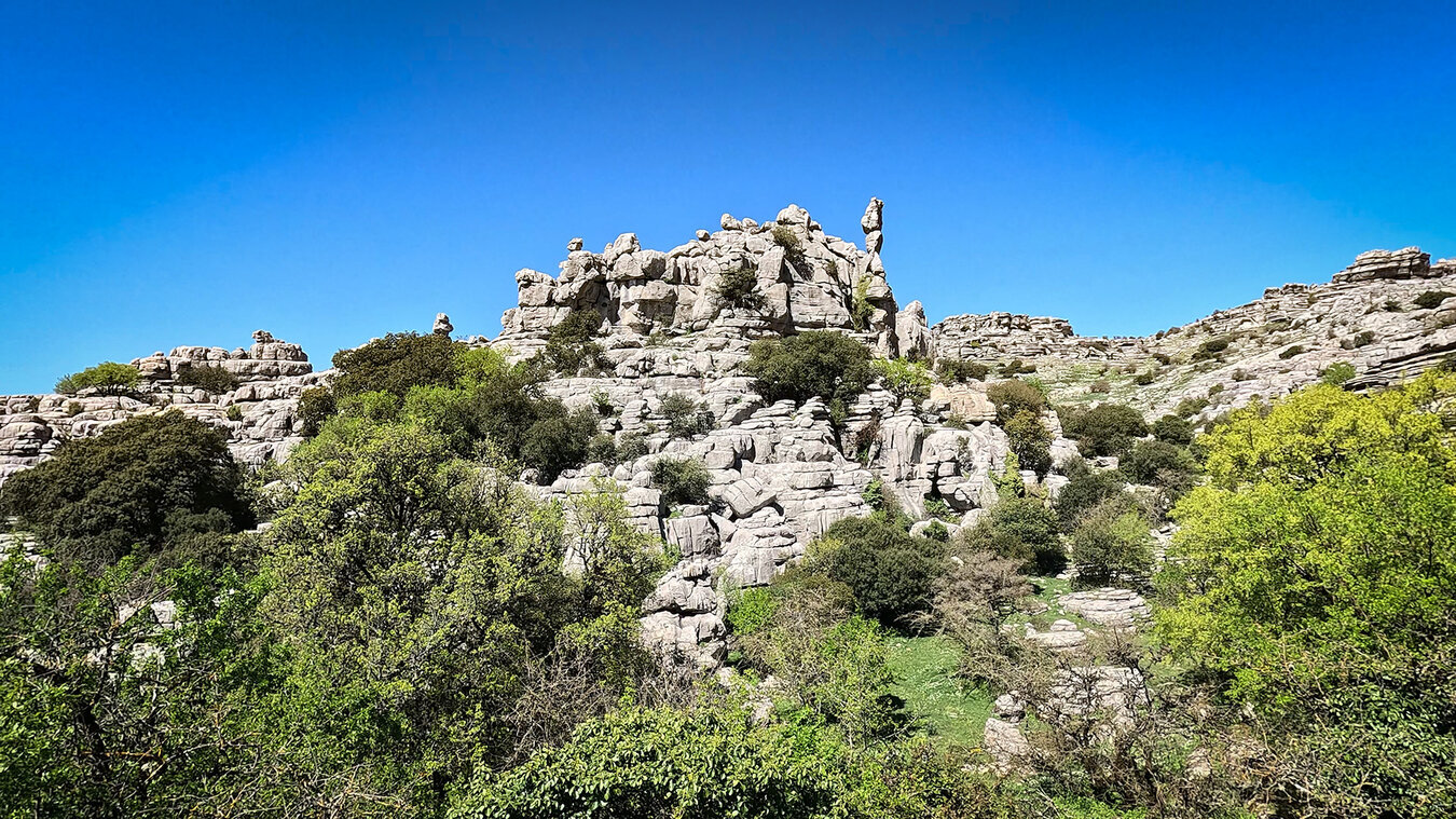
In El Torcal, it isn’t only the individual sculptures that are called rock formations. The spaces between them have names too – and they are often the real experience. Walking through the karst landscape means moving not around the rocks, but through them.
Callejón del Tabaco and Callejón Oscuro
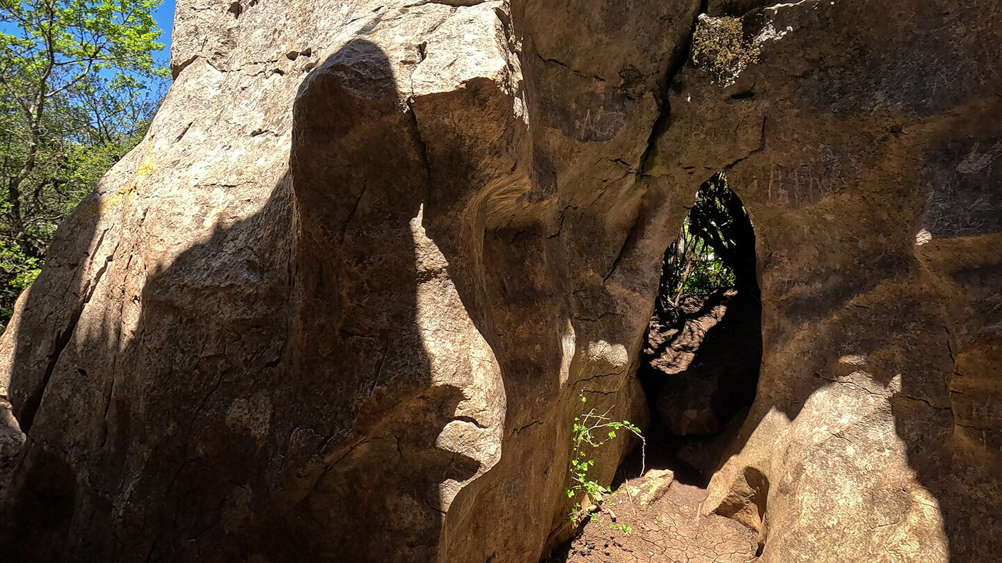
Callejón is Spanish for “narrow alley”. The Callejón del Tabaco, the “tobacco alley”, is a narrow passage between two tall rock walls, just wide enough for one person. The name goes back to tobacco smugglers who ran their goods through here in the 19th century. The Callejón Oscuro, the “dark alley”, is a second such passage – even narrower, because the rock walls almost meet overhead. Both lie on the Grand Circuit; anyone who passes through them no longer regards the phrase “karst labyrinth” as a mere metaphor.
Pilas de Bollos and Lapiaz Agrio de Caracol
The Pilas de Bollos – “stacks of bread rolls” – are a karst ridge in the Las Valineras area, where the stratification of the limestone is especially visible: seven or eight layers stacked on top of one another, some already dissolved and rounded like piled-up baked goods. Lapiaz Agrio de Caracol is the other side of the same geology: a sharp-edged karst surface with spiralling grooves – caracol means “snail”. A rewarding example of what water does to stone, given time.
Moño de Doña Elvira and Abrigo de Juan Ramos
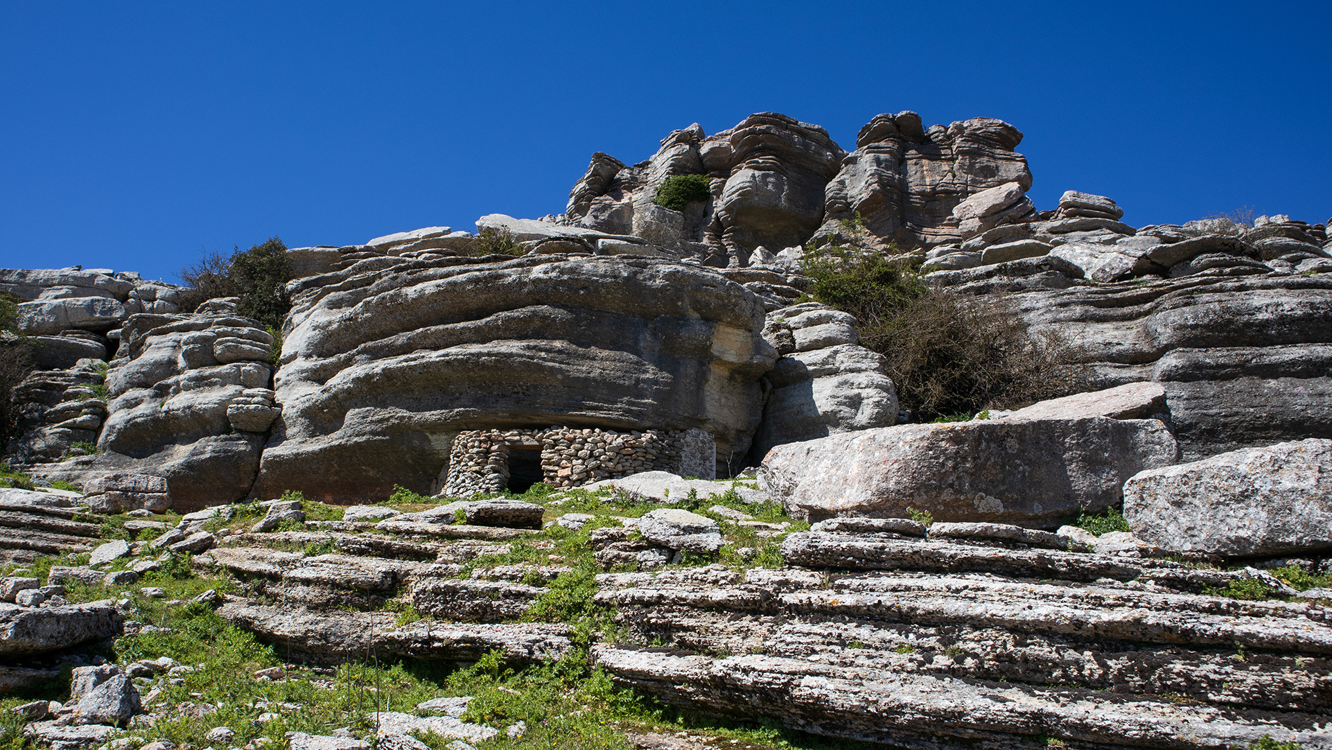
The Moño de Doña Elvira is a rock with a domed head on top and side curls formed by karst grooves – a well-groomed lady in stone. The Abrigo de Juan Ramos is not a free-standing rock but a stone house beneath a rocky overhang, where a stonemason of that name once lived. Today it is an archaeological station on the Grand Circuit.
Where to see them – the three routes
Not every rock formation lies on every route. Anyone wanting to see a particular sculpture should choose the appropriate walk.
Which formation on which route
The Ruta Verde (1.8 km, approx. 45 minutes) leads directly past Las Meninas, with a detour to the Mirador Las Ventanillas. The Ruta Amarilla (3.1 km, approx. 2 hours) links El Sombrerillo, El Tornillo and several animal-shaped rocks – the route with the highest density of landmarks. The Grand Circuit (8.6 km), which is not waymarked, opens up the Torcal Alto in all its depth: Callejón del Tabaco, Las Catedrales, La Casa del Guarda, Pilas de Bollos. It runs without a path in places – a good sense of direction and a GPS track are recommended. Anyone wanting to play it safe should book the guided Antigua Ruta Roja (4.5 km).
| Route | Length | Visible landmarks |
|---|---|---|
| Ruta Verde (waymarked) | 1.8 km | Las Meninas, Mirador Las Ventanillas |
| Ruta Amarilla (waymarked) | 3.1 km | Las Meninas, Mirador Las Ventanillas, El Tornillo, animal-shaped rocks |
| Grand Circuit (not waymarked) | 8.6 km | Callejón del Tabaco, Las Catedrales, La Casa del Guarda, La Maceta, Pilas de Bollos, El Sombrerillo |
| Antigua Ruta Roja (guided) | 4.5 km | Ammonite path, further hidden formations |
| Tips for photographing the rock figures | |
|---|---|
| Time of day | In the morning and late afternoon, the low sun casts long shadows across the karst – the shapes stand out three-dimensionally. The midday sun flattens everything. |
| Weather | Clear days reveal the details. In high fog, the outlines blur – atmospheric, but unfavourable for classic shots. |
| Position | From the path, a single step to the side is often enough for the sculpture to stand out against the sky rather than against other rocks. |
| Drone | Drone flights are banned throughout the park – El Torcal has been an EU Special Protection Area (ZEPA) for birds since 2002. Golden eagles, Bonelli’s eagles, eagle owls and peregrine falcons breed here. |
| Orientation | Portrait format suits El Tornillo and Las Catedrales, landscape format suits Las Meninas and the Pilas de Bollos. |
Conclusion – rock formations in El Torcal
The rock formations in El Torcal are no tourist production, but a limestone gallery over 200 million years old, whose works have borne names for generations. Once you have recognised El Tornillo, El Sombrerillo and Las Meninas in the landscape, you’ll see all the others differently too.
Karst erosion explains the how, the ammonites and belemnites explain the where-from, and on the Ruta Amarilla or the Grand Circuit you’ll encounter most of the formations right on the path. The entrance to the park and all the routes are described in the overview of the El Torcal natural landscape.
Frequently asked questions
What is the landmark of El Torcal called?
Why does El Sombrerillo have an ammonite underneath it?
Is Las Meninas really named after the Velázquez painting?
On which route can you see the most rock formations?
What is Lapiaz Agrio de Caracol?
This article is based on the on-the-ground knowledge of the Gequo editorial team – publishers of several Reisezeit hiking guides and operators of Sunhikes.com. As of: May 2026.