Pantano de El Chorro: where turquoise water meets the rock walls
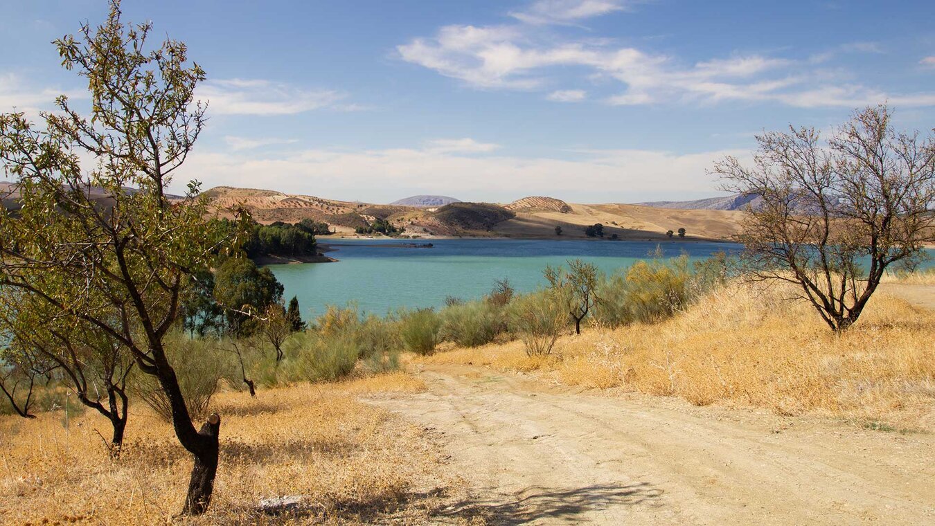
Before the Caminito del Rey became famous, the Pantano de El Chorro was the real reason people came to this area. A threefold lake system with an almost alpine feel, set within a rocky landscape that seems to sit somewhere between Provence and Patagonia. Turquoise water, ochre rock, dark green pines in between – in summer the reservoirs look like a visual promise: it must be cool here, there must be shade.
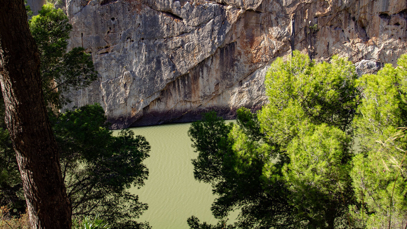
Three reservoirs sit close together here. The Embalse del Conde de Guadalhorce is the oldest, completed in 1921, and gave the valley its first hydroelectric power station. The Embalse de Guadalteba followed in 1971, to supply the growing city of Málaga with drinking water. The Embalse de Guadalhorce, finally, completed in 1973, today absorbs floodwater together with the Guadalteba and is linked to it by a double dam. Then there is the small Embalse de Gaitanejo at the edge of the gorge – water management as an Andalusian industrial monument.
Anyone with a spare day beyond the Caminito itself should spend it here. The Pantano is the ideal place to get to know the region before stepping onto the walkways the next day – viewpoints over the gorge, easy walks by the water, picnic spots beneath pine trees, and one of Europe’s most important climbing areas right on the rock walls.
Three reservoirs, one story: how the valley got its water
From the 1921 power station to today’s drinking-water reservoir
The reservoir history of El Chorro begins around 1900. The Spanish engineer Rafael Benjumea, later Conde de Guadalhorce, planned a hydroelectric power station in the Gaitanes gorge to supply the region with electricity. Building it required not just a dam but a supply path along the sheer rock walls – the future Caminito del Rey. The reservoirs and the walkway are thus siblings, of the same origin and the same era.
The first lake, the Embalse del Conde de Guadalhorce, was completed in 1921. King Alfonso XIII inaugurated it – the same king who also walked the narrow maintenance path on the rock walls and gave it its name. The power station supplied the valley with energy, and the reservoir irrigated the fields of the Guadalhorce valley. The region changed fundamentally: an inaccessible gorge area became a modern industrial site.
| Completed | Function | |
|---|---|---|
| Embalse del Conde de Guadalhorce | 1921 | Power generation & irrigation of the Guadalhorce valley |
| Embalse de Guadalteba | 1971 | Water supply for Málaga |
| Embalse de Guadalhorce (double dam) | 1973 | Flood-control reserve, connected to Guadalteba |
| Embalse de Gaitanejo | — | small storage reservoir in the Gaitanes gorge |
The construction of the later reservoirs from 1971 onwards forced entire villages to be abandoned. The residents of Peñarrubia and the railway station of Gobantes were resettled – many moved to Santa Rosalía in Málaga or as far as Catalonia. Every year, a pilgrimage in honour of the Virgen del Rosario commemorates the abandoned homeland. The railway line also had to be rerouted: 12.6 kilometres of new track, of which 8.3 kilometres run through four tunnels, plus 28 kilometres of new roads. A mammoth undertaking whose traces still shape how people get around the valley today.
What you can experience at the reservoir: views, hiking, climbing
From the Mirador del Conde to the rocky edge
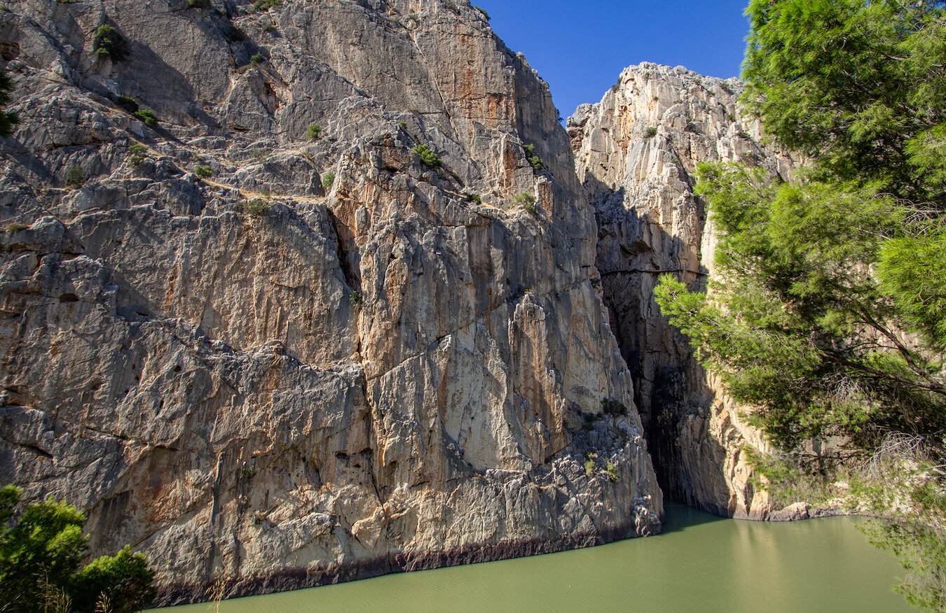
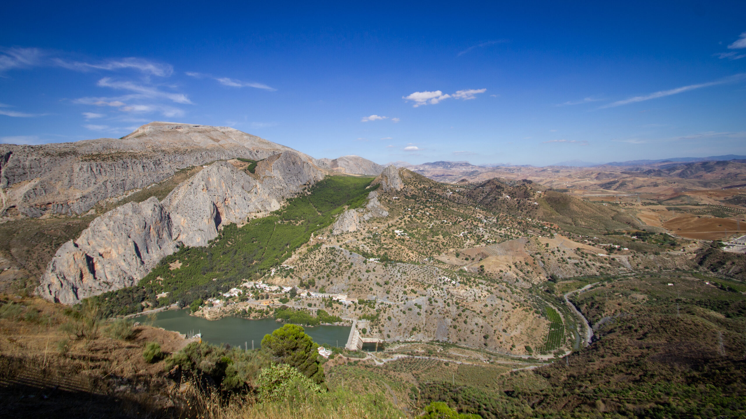
The best-known viewpoint is the Mirador del Conde – a platform directly above the Embalse del Conde de Guadalhorce, from which the whole lake system can be seen. Anyone hiking the Caminito del Rey the next day should stop here briefly: from above you can see what the walk along the walkways only reveals from below. The rock walls, which later sink away beneath your feet, tower up massively here. The gorge starts to make sense.
Around the lakes there are easy walks that work well as an ideal warm-up day. Your legs get moving and your eyes get used to the rocky landscape, without yet needing the full concentration required on the Caminito’s walkways. Three routes are especially worthwhile:
| Mirador Circuit | approx. 2 km · 45 min · paved path to the viewpoint with views over all three lakes |
|---|---|
| Sendero del Embalse | approx. 5 km · 1.5 hrs · along the shore of the Conde de Guadalhorce, with picnic spots beneath pine trees |
| Ruta del Gaitanejo | approx. 4 km · 1 hr · to the Caminito’s preliminary gorge, without walkways, good for families |
| Gran Senda Stage 24/25 | approx. 12–18 km · half a day · for ambitious hikers on the 656 km main route of Málaga Province |
El Chorro as a climbing area: one of Europe’s most important spots
A thousand routes on the gorge’s rock walls
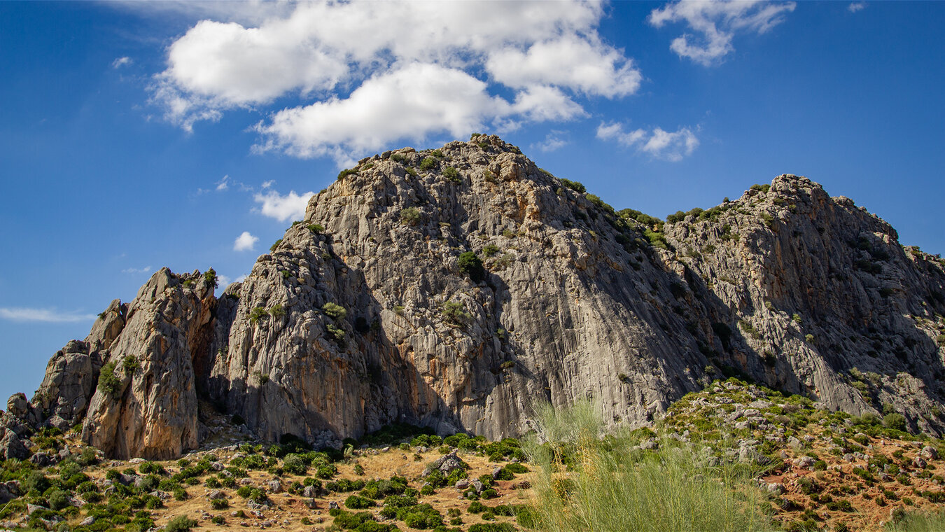
What many day-trippers don’t know: the rock walls around the Pantano de El Chorro are among Europe’s most important climbing areas. Over a thousand routes have been established here, from beginner walls to routes of the ninth grade. The limestone offers solid rock, good protection points, and a climate that allows climbing from October to May – in summer it is usually too hot.
The climbing area is divided into several sectors: Las Encantadas, Los Cotos, Frontales – names that sound like brands among European climbers. The most famous line is „Poema de Roca” in the Los Cotos sector, a multi-pitch route that climbs over 200 vertical metres. Climbers usually stay at the La Garganta campsite right by El Chorro station, or in one of the small guesthouses in the village – the whole local economy runs more on climbing than on Caminito tourism.
Climbing in El Chorro – no practice ground for beginners
The walls are alpine climbing terrain. Multi-pitch routes, bolted belay stations of varying quality, long approaches over pathless ground, occasional rockfall danger from above. Anyone wanting to climb here for the first time should join a local mountain guide or an organised group.
Strict ban: climbing is forbidden in the neighbouring El Torcal de Antequera Nature Park. Anyone who sets off on the wrong massif risks heavy fines. The climbing areas around El Chorro are clearly delimited and well marked.
Even those who don’t climb themselves see the sport constantly here: from the viewpoint above the gorge you can spot the ropes, the helmets, the small coloured dots on the walls. Anyone wanting to watch should head to the Frontales sector – the wall is clearly visible from the car park and is usually well attended.
Verdict: the perfect lead-in day for the Caminito – or a destination in its own right
The Pantano de El Chorro is more than just water at the entrance to the Caminito. Three reservoirs, an industrial monument, a hiking area, a climbing mecca – the region has several layers. Anyone with the Caminito del Rey as their goal should arrive a day earlier and spend it at the reservoir. Anyone looking for climbing or long hiking trails will come for several days anyway. The most beautiful time of day is late afternoon: when the light turns the rock walls orange and the water looks even deeper turquoise than at midday. A stroll to the Mirador, a beer at the Restaurant La Garganta, the view over the gorge you’ll be walking through the next day – it’s hard to imagine a better prelude to a Caminito day.
More on the region: the actual day trip to the King’s Path is described in Caminito del Rey from Antequera. The gorge itself, through which the water flows: Desfiladero de los Gaitanes. For getting to the Pantano: Getting to the Caminito del Rey. Specifically for climbers: El Chorro Climbing & Mountain Sports. For the whole Caminito region, including detailed route pages: go-caminito-del-rey.com.
Frequently asked questions about the Pantano de El Chorro
Can you swim in the Pantano de El Chorro?
How far are the reservoirs from the Caminito del Rey?
Is the Pantano worth visiting without a Caminito ticket?
Where can you stay overnight at the Pantano de El Chorro?
Is the Mirador del Conde accessible by wheelchair?
This article is based on the on-the-ground expertise of the Gequo editorial team – publisher of several Reisezeit hiking guides and operator of Sunhikes.com. Correct as of: May 2026