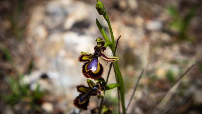
Karst erosion in El Torcal: how 200 million years shaped a landscape
Anyone standing in El Torcal and looking at the stacked stone slabs is looking at a piece of Earth’s history that can genuinely be read. The horizontal layers, the sharp edges, the weathered basins – these are not random shapes but the result of four clearly traceable phases spanning 200 million years.
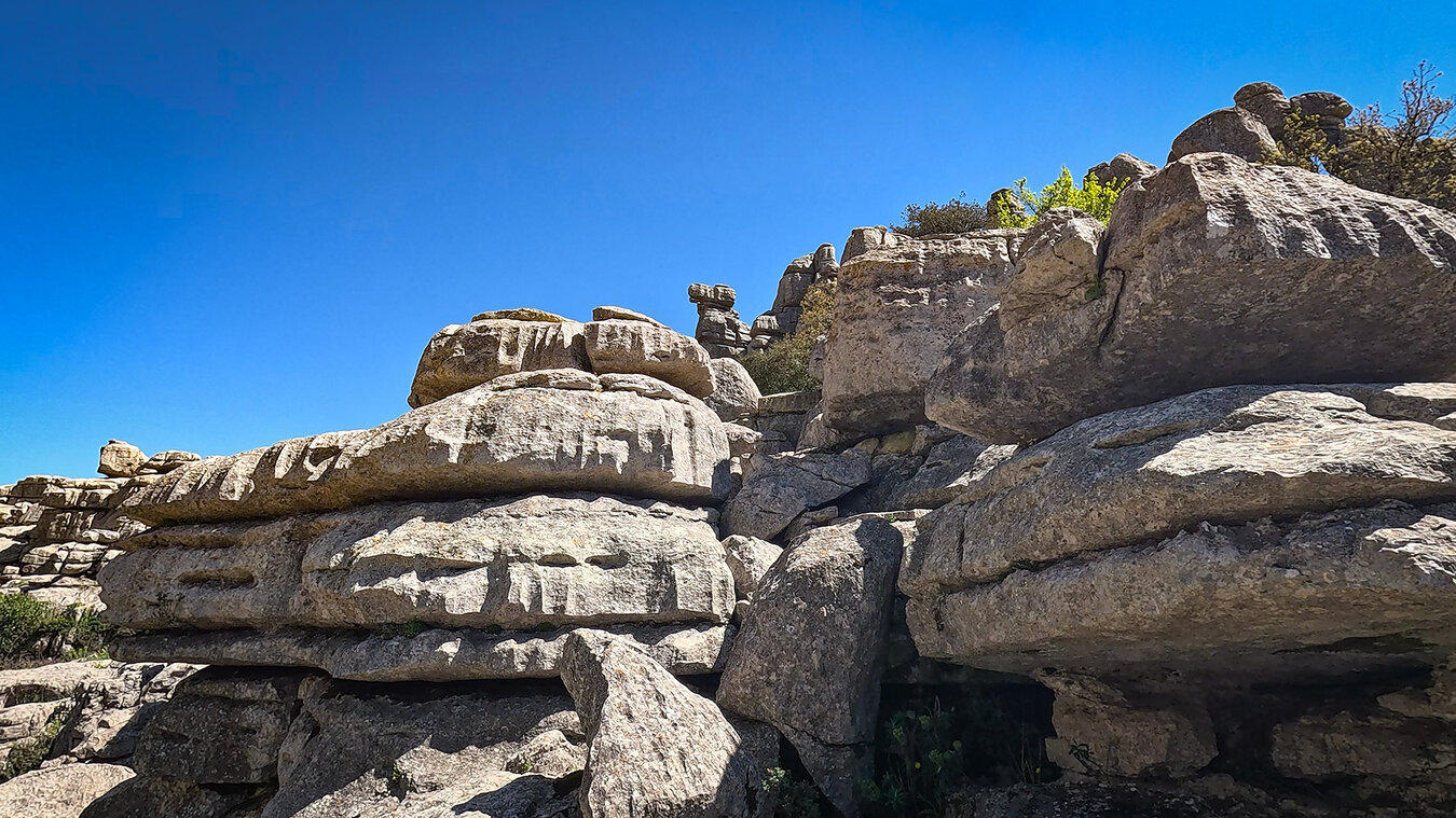
What surprises many visitors: the whole of El Torcal was once underwater. In the Jurassic, more than 150 million years ago, the warm Tethys Sea covered the area between what is now the Atlantic and the Mediterranean. The limestone deposits of that time formed the rock that today towers over the highest point at 1,348 metres as a bizarre rock pillar. Anyone who discovers a fossilised ammonite spiral in the karst is holding an animal from that sea age in their hand.
Geologists distinguish four main phases that led to today’s shape: sedimentation, Alpine orogeny, karst weathering and erosional sculpting. What sounds like a textbook description can be experienced directly on the walking trails.
Fact file – the karst geology at a glance
Age, rock and location
The El Torcal nature park belongs to the arc-shaped Sierra Subbética massif and is one of the most significant karst landscapes in Europe. What makes it special is not its sheer height or area, but its geological diversity packed into a small space.
| Age of the rock | approx. 150–200 million years (Jurassic) |
|---|---|
| Rock type | Limestone from marine sediments of the Tethys Sea |
| Geological unit | Sierra Subbética, a foothill of the Subbética arc |
| Geomorphological zones | Sierra Pelada · Torcal Alto · Torcal Bajo · Tajos and Vilaneras |
| Area | approx. 17 km² including buffer zone |
| Elevation | 1,100 to 1,400 m above sea level |
| Highest point | Camorro del Mástil, 1,336–1,348 m above sea level |
| Protected status | Paraje Natural since 1978 · UNESCO World Heritage Site (Antequera Dolmens Site) since 2016 |
| Groundwater reservoir | approx. 15.5 billion litres – enough to supply Antequera for around seven years |
Phase 1: The Tethys Sea and the birth of the limestone
How shells and micro-organisms became rock
150 to 200 million years ago – in the Jurassic – the world looked fundamentally different from today. The Iberian Peninsula lay closer to the equator, and between what would become the Atlantic and the Mediterranean stretched a warm, shallow sea: the Tethys Sea. El Torcal lay in the middle of this marine corridor, in a zone where the water was calm and rich in lime.
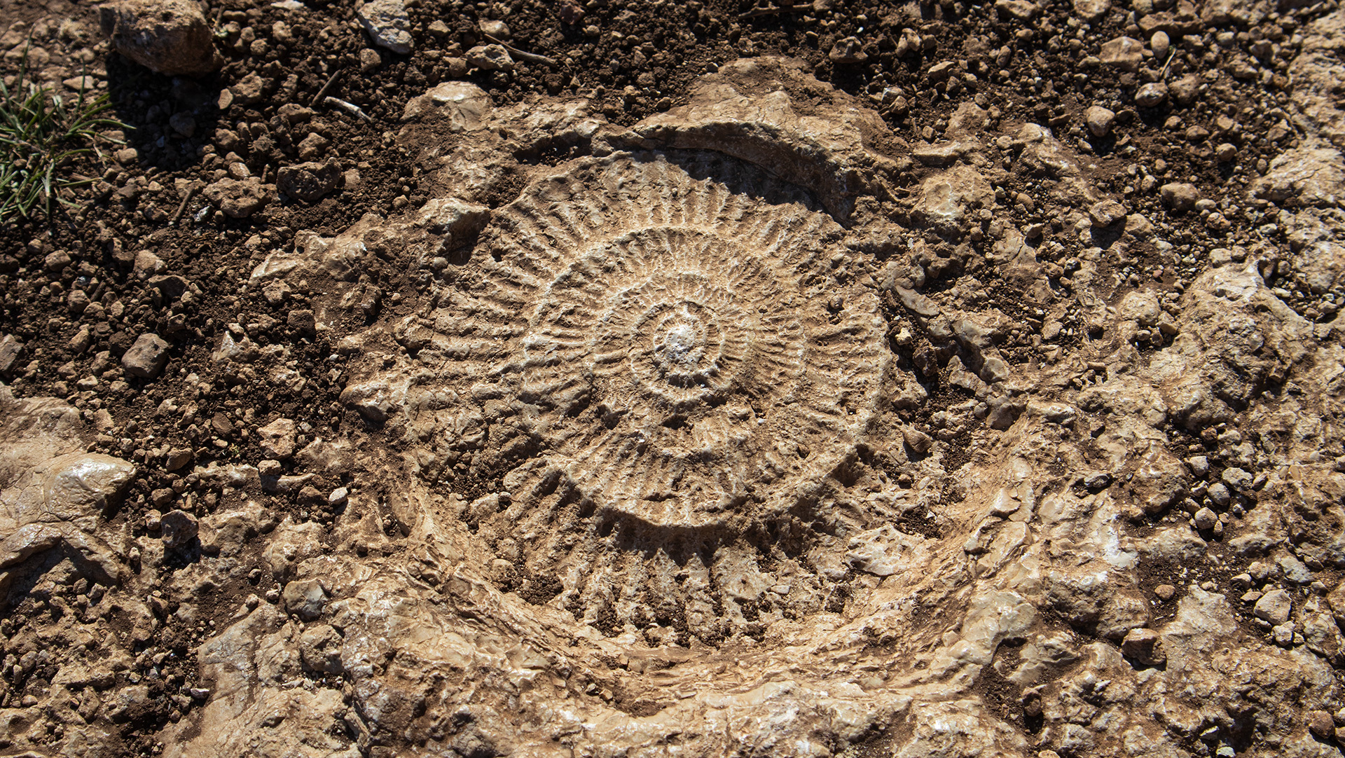
Such conditions are especially favourable for lime-shelled creatures. Molluscs, snails, micro-organisms such as foraminifera and, above all, ammonites – those spiral-shelled relatives of squid now regarded as index fossils of the Mesozoic – lived in these waters in their millions. When they died, their shells sank to the seabed and settled there.
Over millions of years, layer upon layer of calcareous mud built up. Under the pressure of ever more deposits, these layers consolidated into massive limestone. It is this very limestone that today forms the entire rock of El Torcal – complete with all the fossilised creatures that were encased within it at the time.
Anyone who comes across a fossilised spiral along the waymarked trails is holding a creature that is 150 to 200 million years old – not an illustrative image, but a genuine geological find.
Phase 2: Alpine orogeny – when the plates collided
How seabed became mountains
Around 60 million years ago, a process began that would reshape the geography of the entire northern hemisphere: Alpine orogeny, the phase of Alpine mountain building. In it, the African plate collided with the Eurasian plate – with enormous consequences.
At the collision front, the once-horizontal layers of the Tethys seabed were pushed together, folded and thrust upwards. What had previously lain flat on the seabed rose into hills and, eventually, complete mountain ranges. In southern Spain, the Sierra Subbética was formed; in Switzerland, the Alps; and in the Mediterranean region, the Apennines.
For El Torcal, this phase had a decisive consequence: the once-horizontal limestone layers were lifted, tilted and partly buckled. At the same time, the stresses within the rock created countless fine cracks and fissures. These tension fissures are the real precondition for everything that follows – without them, weathering would have had no foothold.
Today’s alternation of softer and harder limestone layers also dates back to this time: the varying sedimentation conditions of the Jurassic left behind layers of differing hardness, which later weathered at different rates – making the characteristic pillar shapes possible in the first place.
Phase 3: Karst weathering – water that dissolves stone
How rain has shaped the rock over millions of years
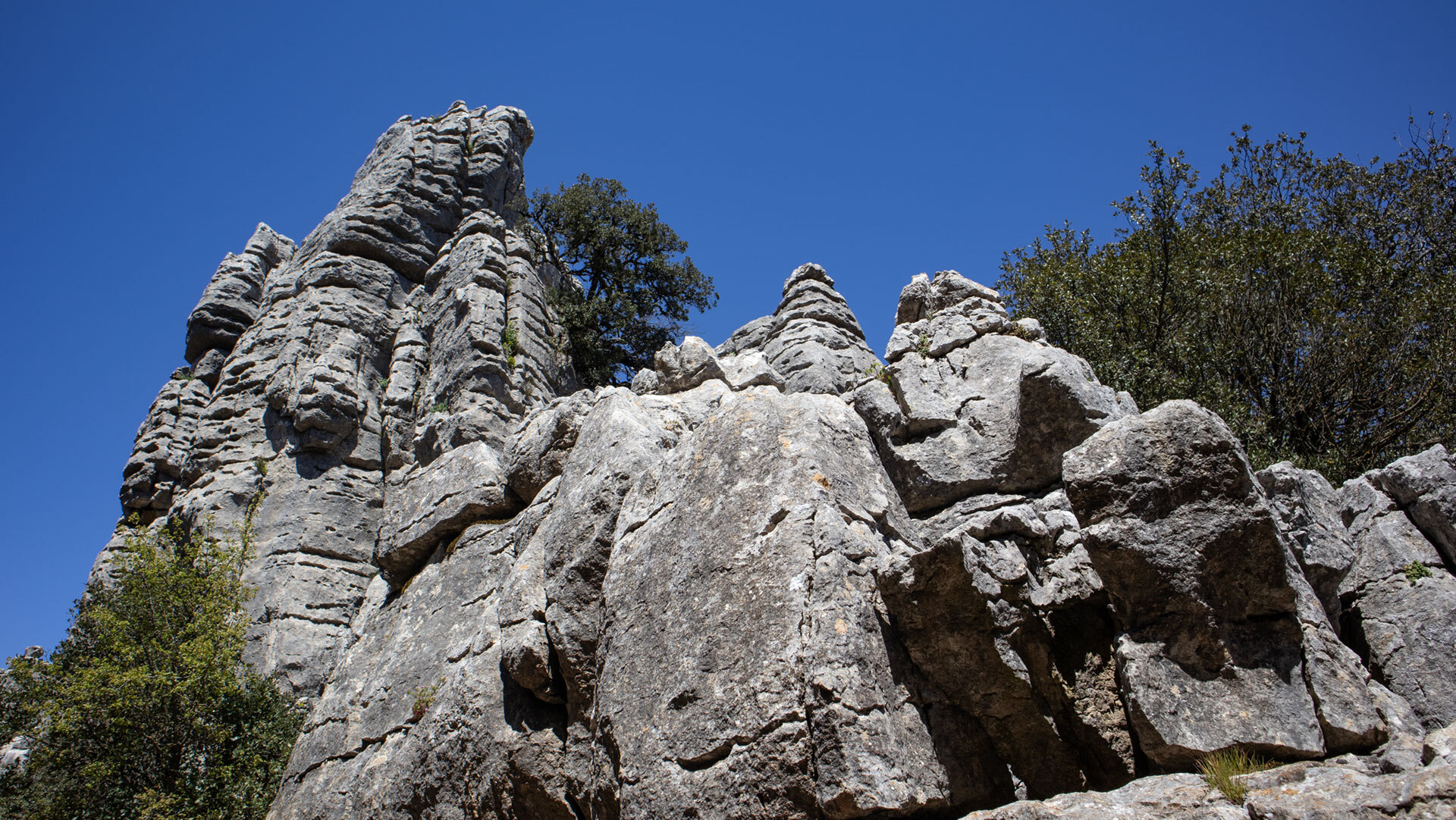
Once limestone lies exposed at the surface and has cracks, a chemical reaction begins that seems unremarkable but shapes the landscape: carbonation weathering. As it falls, rainwater absorbs carbon dioxide (CO₂) from the atmosphere. This creates a weak carbonic acid – not aggressive enough to act within seconds, but strong enough to slowly dissolve limestone over millennia.
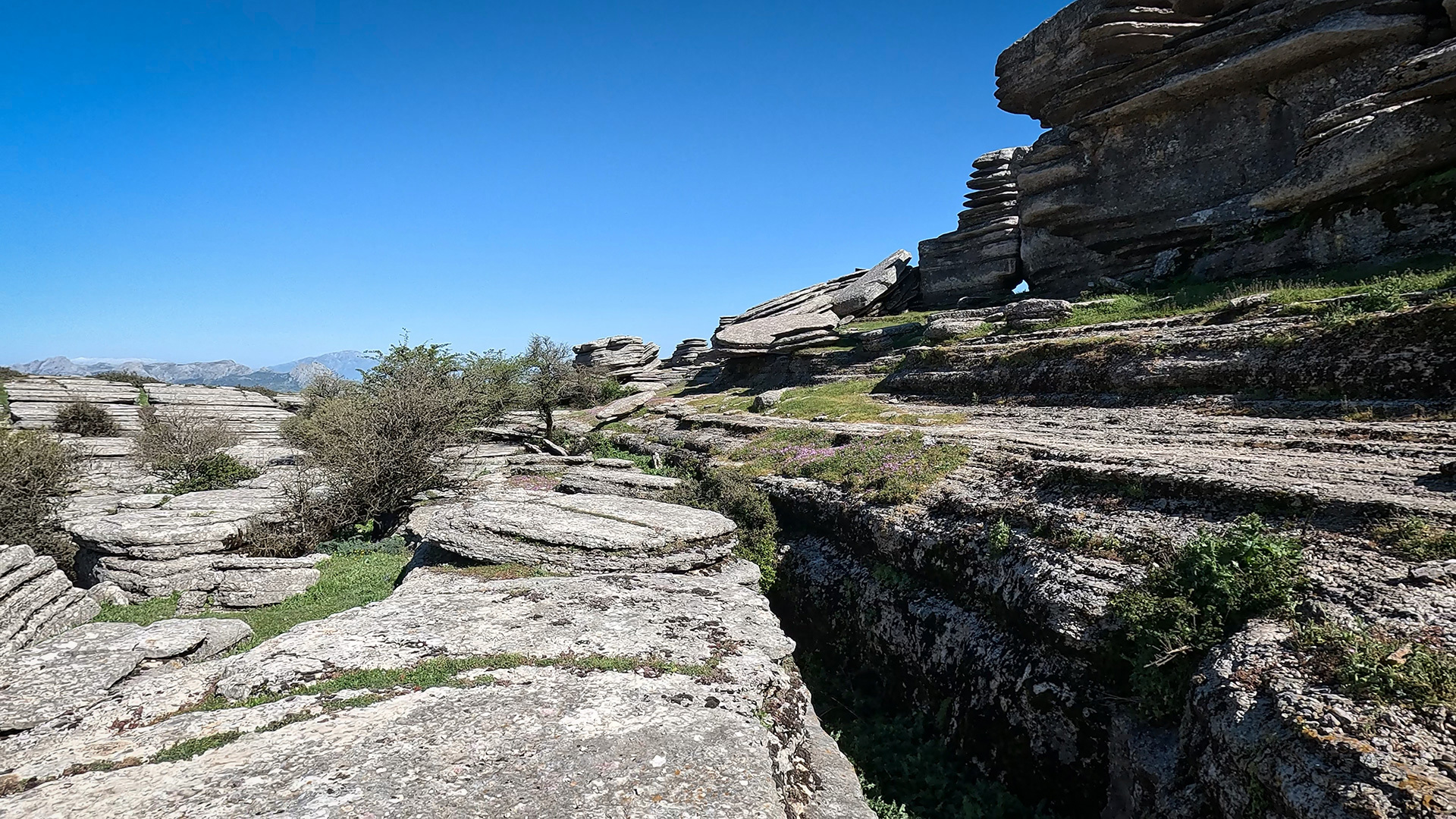
In El Torcal, this slightly acidic rainwater seeps into the fissures created in Phase 2. It widens them, hollows them out and washes the dissolved material further along. Over time, hair-fine cracks become finger-wide fissures, then arm-wide passages, then walkable clefts. This is the basic principle of every karst landscape: water finds its way through soluble rock – and carves out these paths for itself over time.
A second weathering force is also at work in El Torcal: frost. At an elevation of 1,100 to 1,400 metres, water regularly freezes during the winter months. Water that freezes in fine cracks expands and forces blocks apart. What begins as chemical weathering is thus reinforced by mechanical force – together, these two processes explain why the karst here forms such spectacular pillars.
Weathering continues today just as it did millions of years ago. Every rainfall changes El Torcal a little – not visibly within a human lifetime, but measurably on a geological timescale.
Phase 4: Erosional sculptures – the landscape you see today
Pillars, basins, towers – why nothing looks the same
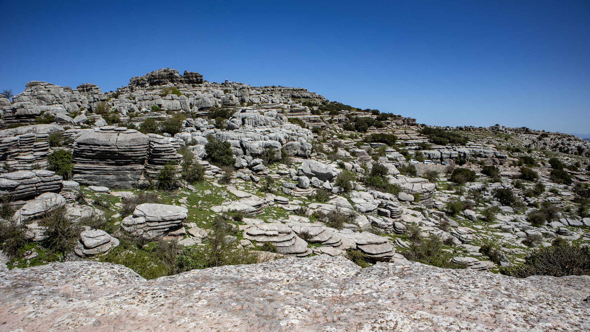
What sedimentation, folding and weathering have left behind is today’s maze of rock, through which the Ruta Verde and Ruta Amarilla wind. The spectacular shapes are not random outcomes but the result of a simple rule: softer rock is worn away faster than harder rock.
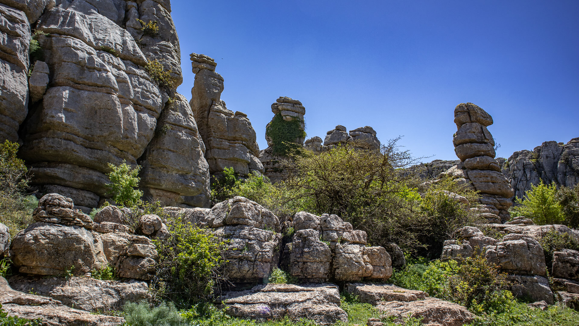
Looking at one of the typical El Torcal pillars, you can see horizontal layers carved into the rock to differing depths. The softer layers have been set back, while the harder ones stand stacked on top of one another like storeys. This creates pillars that look like stacked hat-shaped blocks – most famously the rock formation El Tornillo (the screw), which looks like a piece of turned furniture.
Alongside these, other typical karst features have formed over time: dolines, circular depressions in the ground – the name El Torcal comes from the Spanish word torca. Lapiaz fields, sharp-edged grooves and furrows on horizontal rock slabs. Pilas, weathered basins in the upper rock surfaces where water collects after rain. Caves and shafts that run right through entire mountains – in El Torcal, shafts such as Sima Rasca, which drops 230 metres down into the karst.
These features are forming today in exactly the same way as they did millions of years ago. Anyone who spots a palm-sized pila on a rock slab is looking at the beginning of a feature that could become a doline in 100,000 years.
What you actually see on the trails
The main karst features in El Torcal:
Pillars and towers: limestone blocks stacked on top of one another, exposed through differing rock hardness
Doline (Torca): circular depression in the ground – the feature that gave the nature park its name
Lapiaz: sharp-edged grooves and furrows on rock slabs (example: Lapiaz Agrio de Caracol)
Pilas: weathered basins in horizontal rock slabs – water collects here after rain
Caves and shafts: Cueva del Toro (with Neolithic finds), Sima Rasca (230 m deep, accessible only by abseiling)
Gorges: La Unión, Rasca – carved out by water over millions of years
Fossils: ammonites and belemnites as evidence of the Tethys Sea
The underground sponge: the water system beneath the karst
How El Torcal supplies Antequera with drinking water
The karst rock does not just do its work at the surface – its real function lies underground. Rainwater falling on El Torcal does not run off in streams or rivers but seeps through the countless fissures straight into the interior of the mountain. There it collects in underground cavities – the karst functions like a gigantic sponge.
El Torcal’s groundwater reservoir holds around 15.5 billion litres of water – enough to supply the households of Antequera and Villanueva de la Concepción for around seven years. The most important outlet is the Manantial de la Villa in the north of the park – the largest spring in the region and an essential part of the local water supply.
For the geological story of El Torcal, this is not just a practical function but proof that karst weathering is not a finished process. Every litre that seeps through the fissures carries a microscopic amount of lime downwards – making the cavity minimally larger. In ten thousand years, El Torcal will look different.
Conclusion: a landscape you can read
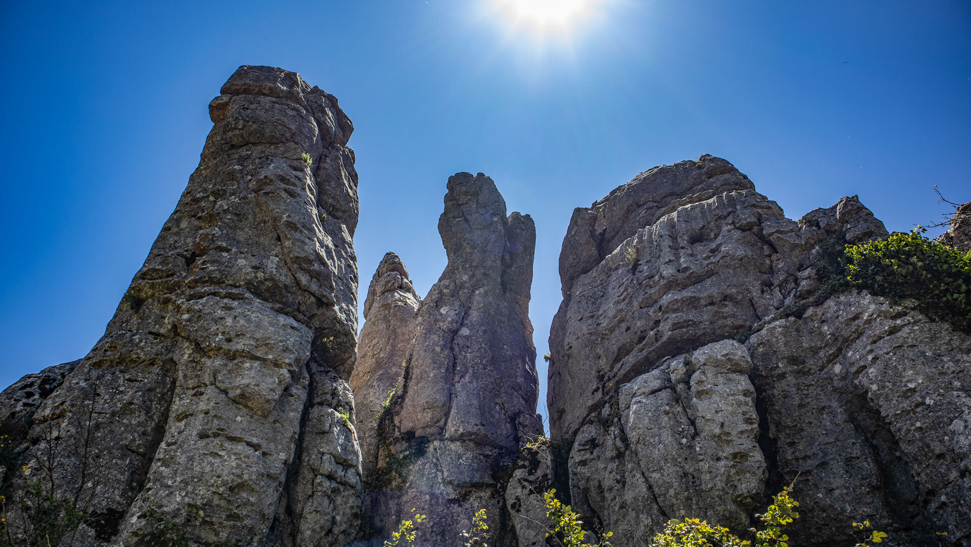
El Torcal is not just “simply beautiful” – it is a geological library in which every layer documents a different era. Once you know the four phases, you suddenly no longer see bizarre rocks, but a piece of Earth’s history you can touch.
200 million years from the Tethys Sea to the karst pillars, from mollusc shells to rock towers: this is the geology that made this park a UNESCO World Heritage Site. On the waymarked trails, you walk through an open textbook.
Continue to Ammonites & Belemnites in El Torcal, to the rock formations El Tornillo, El Sombrerillo and Las Meninas, to the Caves & Shafts and to the Groundwater System. Back to the El Torcal overview
Frequently asked questions about karst erosion in El Torcal
Exactly how old are the rocks in El Torcal de Antequera?
Why is the park called "El Torcal de Antequera"?
What is the difference between weathering and erosion?
Is karst erosion still happening today?
Are there fossils to see in El Torcal?
This article is based on the on-the-ground knowledge of the Gequo editorial team – publisher of several Reisezeit hiking guides and operator of Sunhikes.com. Last updated: May 2026