Caves and Shafts in El Torcal: Where the Depths Begin
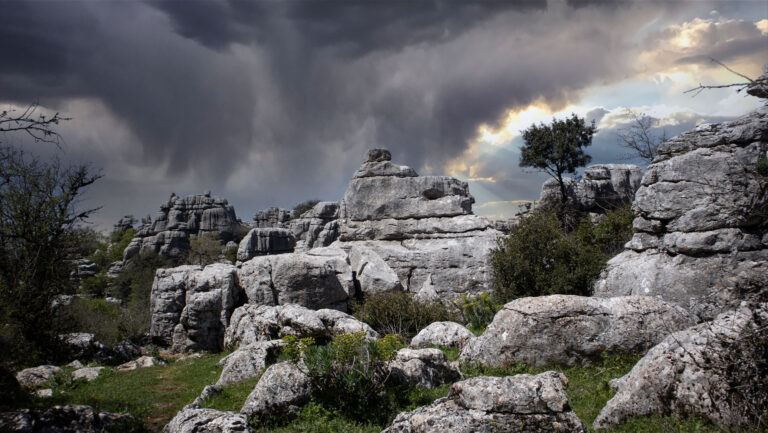
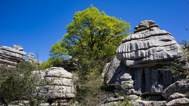
What becomes visible on the surface of El Torcal — towers, columns, rock sculptures — is only the upper half of the story. The other half lies beneath. Several hundred metres of limestone have been bored through, split apart and washed out by water over the last 150 million years. The result is a second, largely unknown karst world: caves in El Torcal, shafts, groundwater chambers and eroded hollows.
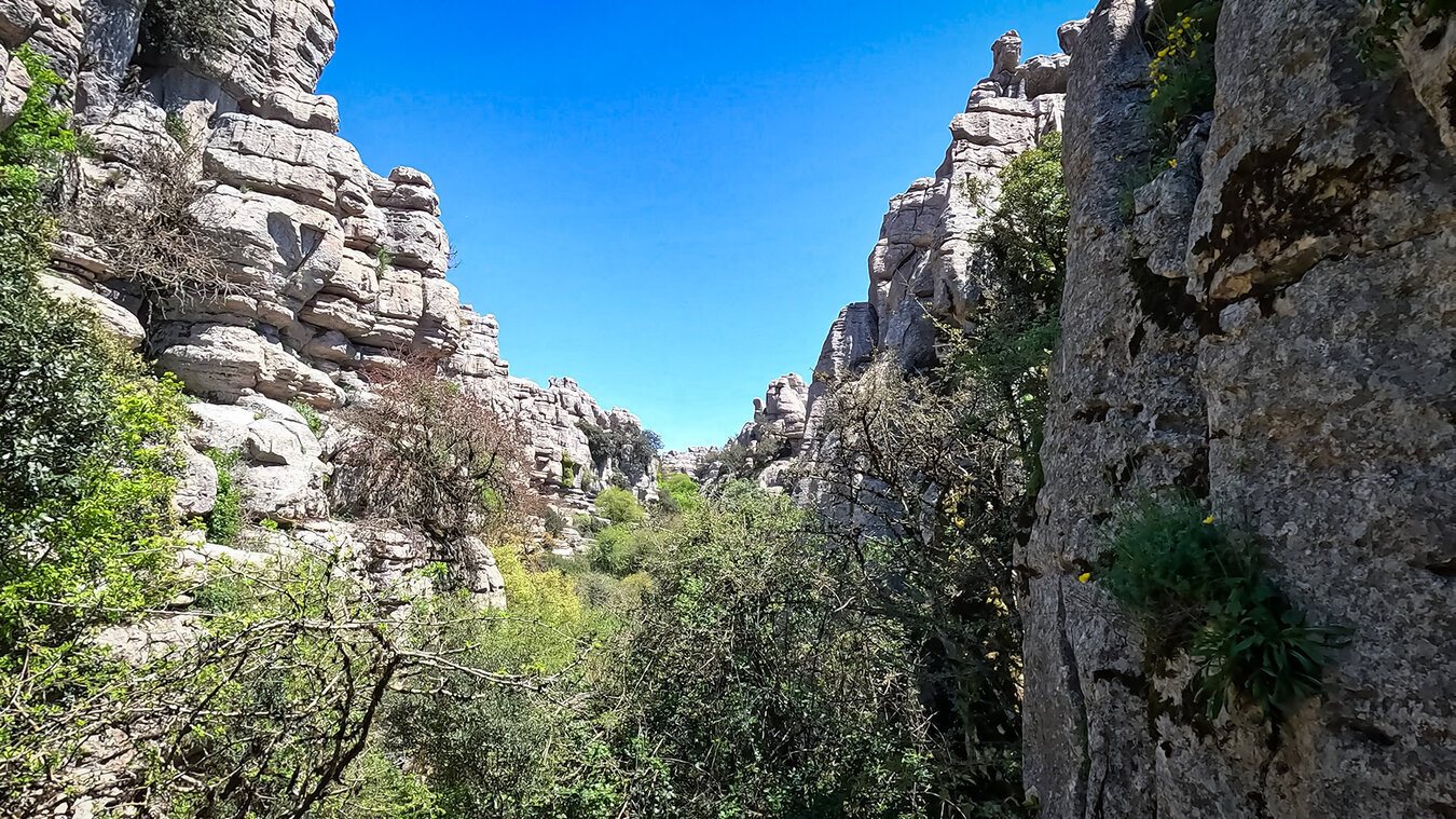
The best-known names hint at the range. The Sima Rasca plunges 230 metres vertically into the mountain. The Cueva del Toro – the “bull cave” – holds Neolithic finds. Then there’s Sima Azul, Cueva Mujer, Cueva Navazo Verde and a series of further cavities known only to cavers and local geologists.
Hikers see almost nothing of this lower world. But anyone who understands what lies directly beneath their feet walks through the park differently.
Karst from the Inside: How Cavities Form in Limestone
Karst is geology with patience. What lies beneath the surface of El Torcal is the product of a chemical process that has been running since the Tertiary and is still not finished today. Rainwater absorbs carbon dioxide from the atmosphere and becomes weak carbonic acid. As it seeps down, this acid dissolves the limestone – slowly, but relentlessly.
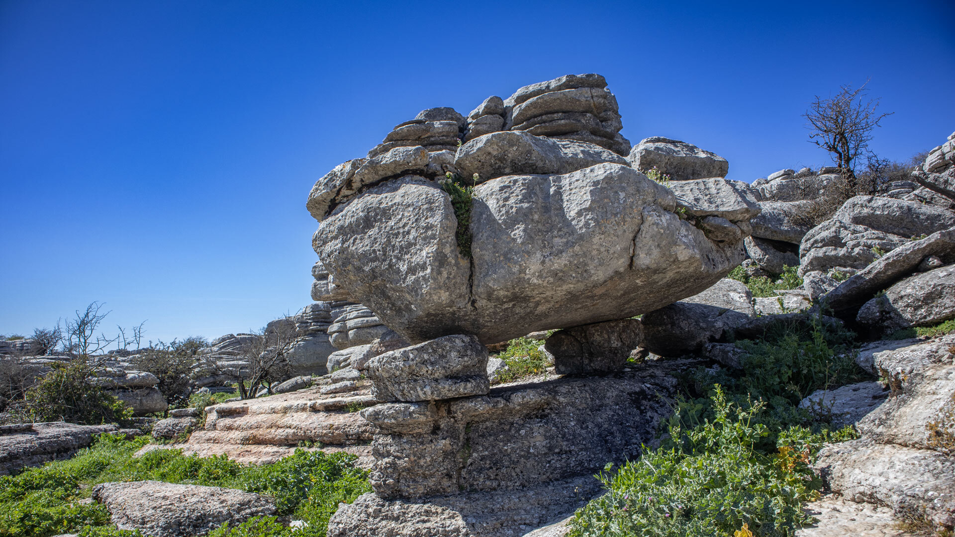
Over thousands of years, tiny cracks become open fissures, fissures become tubes, and tubes become cavities. Where water can penetrate vertically from above, shafts form. Where it flows off horizontally along a rock layer, caves form. Both types occur in El Torcal, and both are the same phenomenon oriented in a different direction.
Water, Carbonic Acid, Millions of Years
The geological clock for El Torcal has been running for around 150 to 200 million years. Back then, the area was covered by the Tethys Sea. Shells, microorganisms and lime deposits formed layers of limestone, which were later uplifted by the collision of the African and Eurasian tectonic plates. Today’s elevation of 1,100 to 1,400 metres was once the seabed.
Since the uplift, water has been working on the material. Extension fractures from the tectonic phase provided the first points of attack, carbonic-acid weathering widened them, and frost split them further still. Today the bedrock is riddled with cavities like a gigantic sponge – not hollow everywhere, but potentially so everywhere.
Shafts and Caves: Two Types, One Cause
In Spanish, the cavities are clearly distinguished by name. “Sima” denotes a vertical shaft, often with a small opening at the surface and a deep continuation below. “Cueva” refers to a horizontal cave, accessible like a tunnel or a chamber. Both form through the same processes — they differ only in whether the water found the greater part of its dissolution path running vertically or horizontally.
Sima Rasca: 230 Metres Straight Down
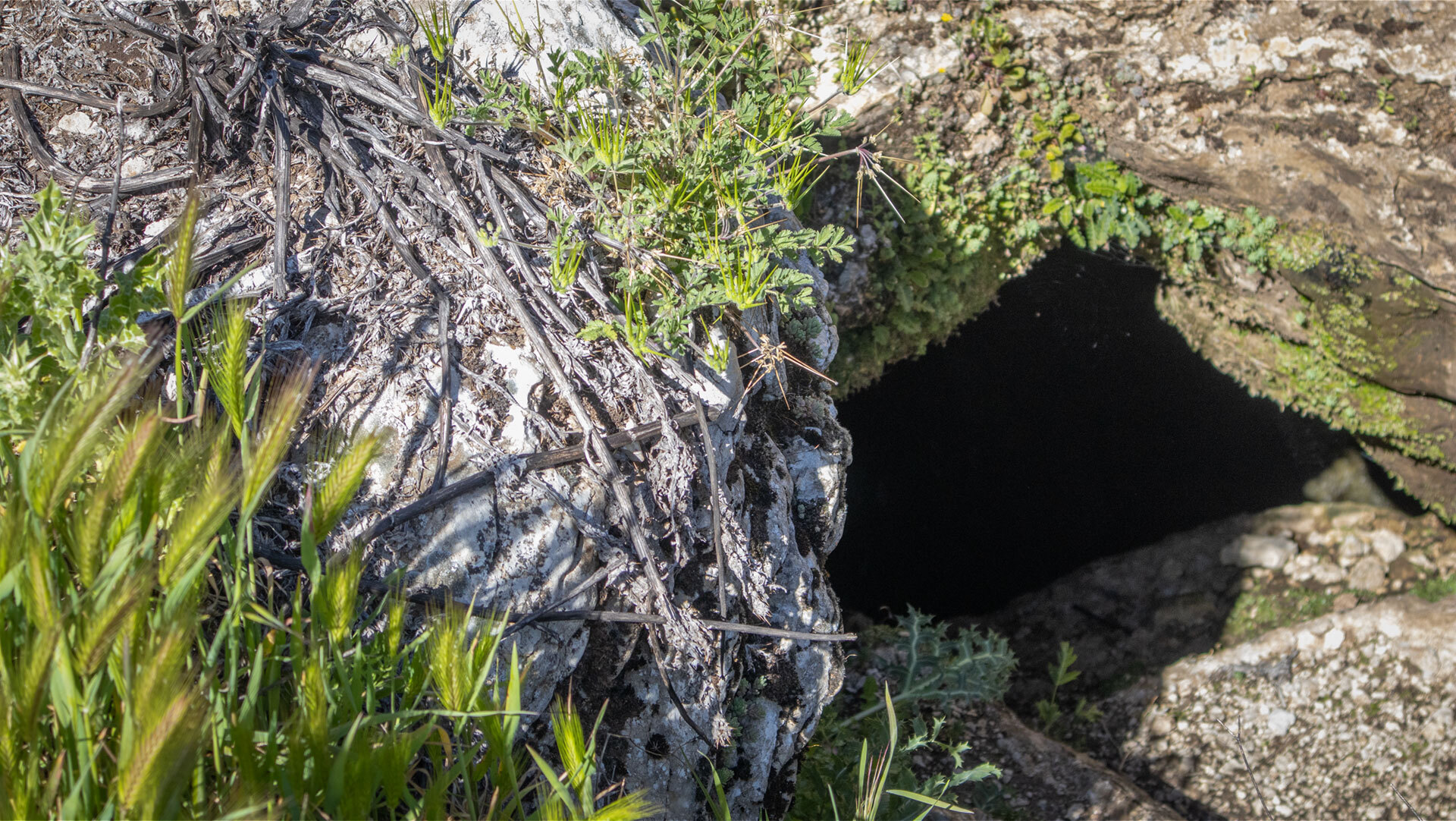
Der berühmteste Schacht des Parks ist die Sima Rasca. Mit 230 Metern Tiefe gehört sie zu den bemerkenswertesten Karst-Schächten der Region und ist auf den Wanderkarten als „nicht begehbar” markiert. Anyone walking the Grand Circuit passes the entrance — eine vergleichsweise kleine Öffnung, die nicht ahnen lässt, was sich darunter verbirgt.
How Deep, How Narrow, How Old
230 metres — that’s roughly equivalent to the height of a seventy-storey office building, only heading straight down. The Sima Rasca formed over tens of thousands of years, as water slowly hollowed out a shaft along a main fissure in the karst. The cross-section changes with depth: narrow sections alternate with wider chambers, rather like a row of hourglasses.
Such depths are not unusual in El Torcal, they are simply rarely documented. Cavers believe that the karst cavity system beneath the park is considerably more extensive than the few known shafts suggest.
For Professionals Only: Abseiling and Caving
The Sima Rasca can only be entered using abseiling technique. Hikers keep their distance from the opening — this is explicitly set out in the official safety guidance. Anyone wanting to descend into the shaft needs professional caving equipment, multiple safety systems and experience in vertical karst.
The Andalusian caving scene (espeleología) documents such systems systematically, but they are off-limits to tourists. Even attempting to “just take a quick look inside” is dangerous: the karst rock around shaft openings is often unstable, and a fall would be life-threatening.
Cueva del Toro: Where Stone Stores History
El Torcal’s best-known horizontal cave is the Cueva del Toro — the “bull cave”. Unlike the Sima Rasca, it is not a geological sensation but an archaeological one: Neolithic finds have been recovered from the cave, marking out the area as a living space and ritual site for prehistoric farming communities.
Neolithic Finds
Exactly what was found in the Cueva del Toro is not documented publicly in detail, but the finds fit into a wider context. Neolithic communities lived in the fertile Guadalhorce valley and on the karst massif itself between 5,000 and 2,200 BC — the same people who, a little later, built the monumental dolmens of Menga, Viera and El Romeral. Caves such as the Cueva del Toro served them as shelters, storage sites, ritual places or burial grounds.
The name “bull cave” is old and probably a folk name. Whether it refers to depictions of bulls, to the shape of the cave, or to some historical event has not been reliably passed down.
Connection to the Dolmen Culture
The cultural link between El Torcal and the dolmens is both spatial and symbolic. The tholos of El Romeral is aligned 199° south-west — unusual for the Iberian Peninsula — and points directly at the Camorro de las Siete Mesas in El Torcal. For its builders, the karst landscape was therefore not an abstract backdrop but a concrete astronomical and religious reference point. Caves such as the Cueva del Toro fit into this picture: spaces where people and mountain came into contact.
Sima Azul, Cueva Mujer, Cueva Navazo Verde – the Other Depths
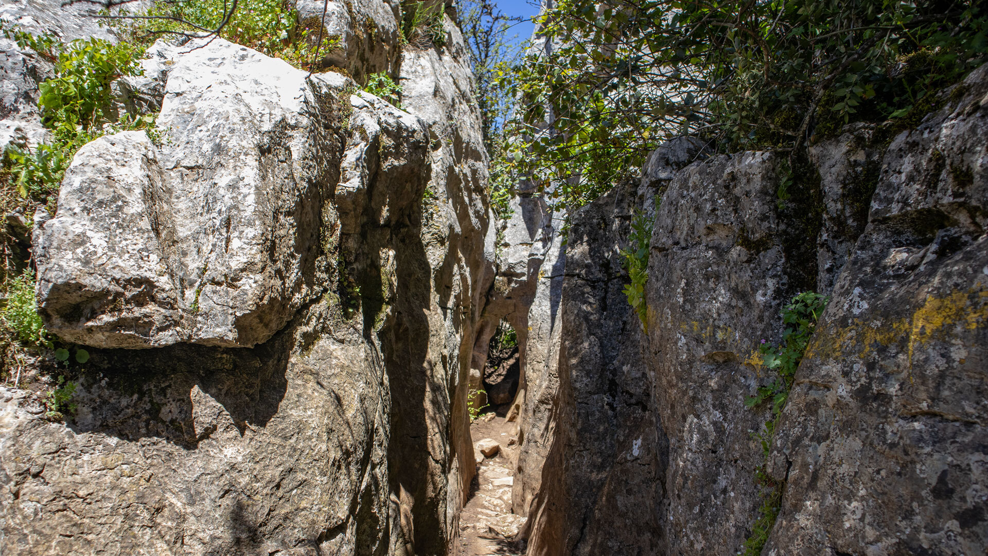
Besides the two well-known names, El Torcal has a number of further documented cavities that appear in the scientific literature but hardly feature in public awareness. Three of these are recorded by name: the Sima Azul (“blue shaft”), the Cueva Mujer (“woman’s cave”) and the Cueva Navazo Verde (“green hollow”).
What Has Been Documented So Far
Little is publicly known about these three cavities. The Sima Azul is classified as a vertical shaft, while the two cuevas are horizontal caves. How deep, how extensive and how old they are is a matter for speleology, not tourism. The origins of their names are also generally old and based on folk etymology — “woman’s cave” hints at a shape or a legend, “green hollow” at the vegetation at the entrance.
Why Most Are Not Publicly Accessible
The authorities are cautious with information for three reasons. First, most caves are hard to reach and can only be entered safely with specialist equipment. Second, the park has been a protected area since 1978 — unrestricted visitor traffic in caves would endanger the soil, the wildlife and, in the case of the Cueva del Toro, the archaeological remains as well. Third, the caves are often home to bats, which are especially sensitive to disturbance at certain times of year.
Die Konsequenz ist klar: Wer als Wanderer Höhleneingänge bemerkt — und auf der Großen Runde passiert man mehrere — geht daran vorbei. Hineinklettern, Steine werfen, Eingänge betreten ist verboten und gefährlich.
| Behaviour at Cave Entrances in El Torcal | |
|---|---|
| Keep your distance | At the Sima Rasca and other shafts, the official rule applies: don’t approach, don’t look in, don’t stand on unstable rock edges. The rock around the opening is often crumbly. |
| Take nothing away | Stones, sediment samples, bone fragments — everything stays where it is. The Cueva del Toro and other archaeologically sensitive caves are protected as heritage sites, and the entire karst area has been a nature reserve since 1978. |
| No drones | Flying drones is generally banned in El Torcal (ZEPA status, a special bird protection area). Filming cave entrances from the air isn’t permitted either — and it’s unnecessary, since the spectacular footage wouldn’t show anything that isn’t already apparent from the hiking map. |
| Respect the bats | Several caves are home to bat colonies. Noise and light at the entrance are disruptive, particularly during winter hibernation periods. Anyone who happens to notice the animals should simply move on quietly. |
| When in doubt, turn back | Wer auf der Großen Runde Orientierung verliert und auf einen unbekannten Hohlraum stößt: nicht hineingehen, sondern den ursprünglichen Weg zurück. Im Karst sind Höhleneingänge keine sicheren Orientierungspunkte — sie können gefährliche Tiefen verbergen. |
Conclusion – Caves and Shafts in El Torcal
What appears on the surface of El Torcal as a rock labyrinth continues underground. The Sima Rasca, 230 metres deep, the Cueva del Toro with its Neolithic finds, and a handful of other cavities show that the karst landscape has a second dimension — one that mostly stays hidden and fascinates precisely for that reason. How karst forms in the first place is described in the article on karst erosion. What stands on the surface — El Tornillo, El Sombrerillo, Las Meninas — is covered in the article on the rock formations. Anyone wanting to follow the underground water further will find the continuation of this story in the article on water and groundwater reservoirs. An overview of the nature park: the karst landscape of El Torcal.
Frequently Asked Questions
How many caves are there in El Torcal?
Can you visit the Sima Rasca?
What was found in the Cueva del Toro?
How did the caves form?
Are hikers allowed to enter cave entrances?
This article is based on the on-the-ground knowledge of the Gequo editorial team – publishers of several Reisezeit hiking guides and operators of Sunhikes.com. As of: May 2026