Antequera in Spain: where Andalusia’s unknown heart lies
Anyone travelling through Andalusia has Seville on their list, along with Granada, Córdoba, perhaps Málaga and Ronda. Hardly anyone knows Antequera – even though virtually every journey between the region’s major cities inevitably passes through this town. What looks like a blind spot in Andalusian tourism is in fact the geographical heart of the region. And it has everything a significant Andalusian town needs: a Moorish fortress, Renaissance churches, Roman baths, a UNESCO World Heritage Site on its doorstep, and a 5,000-year-old history.
The key question first: Antequera lies in the province of Málaga, about 50 kilometres north of the Costa del Sol’s capital, in the geographical centre of Andalusia. This makes the town the crossroads between the region’s four major cities – Seville, Granada, Córdoba and Málaga – and, since ancient times, a hub for transport, trade and culture.
What this location actually means, why the town nonetheless remains little known to tourists, and which sights can be combined there over two days.
Fact file – Antequera at a glance
| Land | Spanien |
|---|---|
| Region | Andalusien |
| Provinz | Málaga |
| Einwohner | ca. 41.000 |
| Höhenlage | ca. 575 m über dem Meeresspiegel |
| Lage | geographisches Zentrum Andalusiens |
| Entfernung Málaga | 50–55 km nördlich |
| Entfernung El Torcal | 14–15 km südlich von Antequera |
| UNESCO-Welterbe seit | 15. Juli 2016 (Antequera Dolmens Site) |
| Bahnhof | Hochgeschwindigkeitsbahn (AVE) Santa Ana |
| Flughafen | Málaga-Costa del Sol (AGP), ca. 1 Stunde Fahrt |
Antequera in the geographical centre of Andalusia
Between mountains, valley and plateau
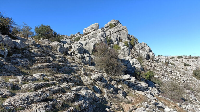
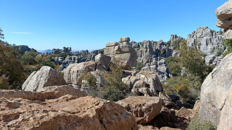
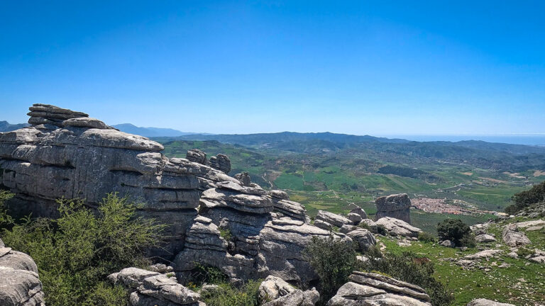
Antequera sitzt in einer Talsenke auf etwa 575 Metern Höhe, eingebettet zwischen zwei markanten Bergmassiven. Im Süden erhebt sich das Karstmassiv El Torcal auf bis zu 1.348 Meter – ein bizarres Felslabyrinth aus Jura-Kalkstein, das seit 1978 als Paraje Natural geschützt ist und seit 2016 UNESCO-Welterbe. Im Norden ragt die Peña de los Enamorados auf, der „Liebenden-Felsen”, dessen Silhouette an ein liegendes Profil erinnert.
This location is no coincidence. Antequera lies within the so-called Surco Intrabético, a longitudinal valley that runs across Andalusia and has always been the region’s most important east–west route. Anyone travelling from Seville to Granada had to pass through Antequera. The same was true for anyone travelling from Córdoba to the coast. The town occupied a geographical position where all routes were bound to cross.
Administratively, Antequera belongs to the province of Málaga, but it is separated from the provincial capital by the El Torcal massif. The difference in elevation from the coast – Málaga is at sea level, Antequera at 575 m – makes the climate more continental: hotter summers, colder winters, clear air.
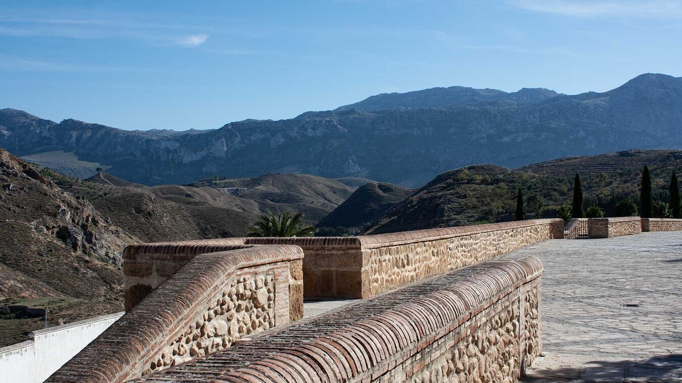
How far is Antequera from the other major cities?
| Málaga (Provinzhauptstadt) | 50–55 km südlich · ca. 45–60 min mit Auto · A-7075 / A-45 |
|---|---|
| Flughafen Málaga (AGP) | ca. 55 km · ca. 50–60 min mit Auto |
| Granada | 100 km östlich · ca. 1 h 15 min · A-92 |
| Sevilla | 175 km westlich · ca. 1 h 45 min · A-92 |
| Córdoba | 130 km nördlich · ca. 1 h 30 min · A-45 |
| Ronda | 100 km westlich · ca. 1 h 30 min · A-367 / A-384 |
| El Torcal (Besucherzentrum) | 14–15 km südlich · ca. 20–25 min · A-7075 |
| Caminito del Rey | 40 km westlich · ca. 45 min |
This list shows what travel planners quickly grasp: from Antequera, all four major Andalusian cities and all the region’s key natural attractions can be reached in one to two hours each. Anyone planning a tour of Andalusia will struggle to find a more central base. There’s also the Antequera-Santa Ana station on the AVE high-speed line, which gets you to Málaga in 25–30 minutes, to Seville in 45 minutes, and to Madrid in an hour.
A crossroads since antiquity
5,000 years of history in one town
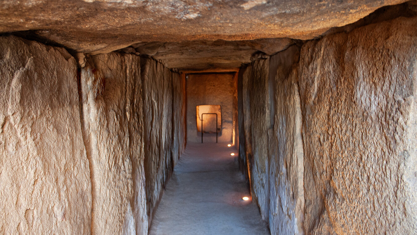
The central location has shaped Antequera’s history. As far back as the Bronze Age, around 3,000 BC, the three dolmens were built here – Menga, Viera and Tholos de El Romeral. They are now part of the UNESCO World Heritage Site and rank among the oldest and largest megalithic structures in Europe. The Dolmen de Menga is considered the largest in Europe.
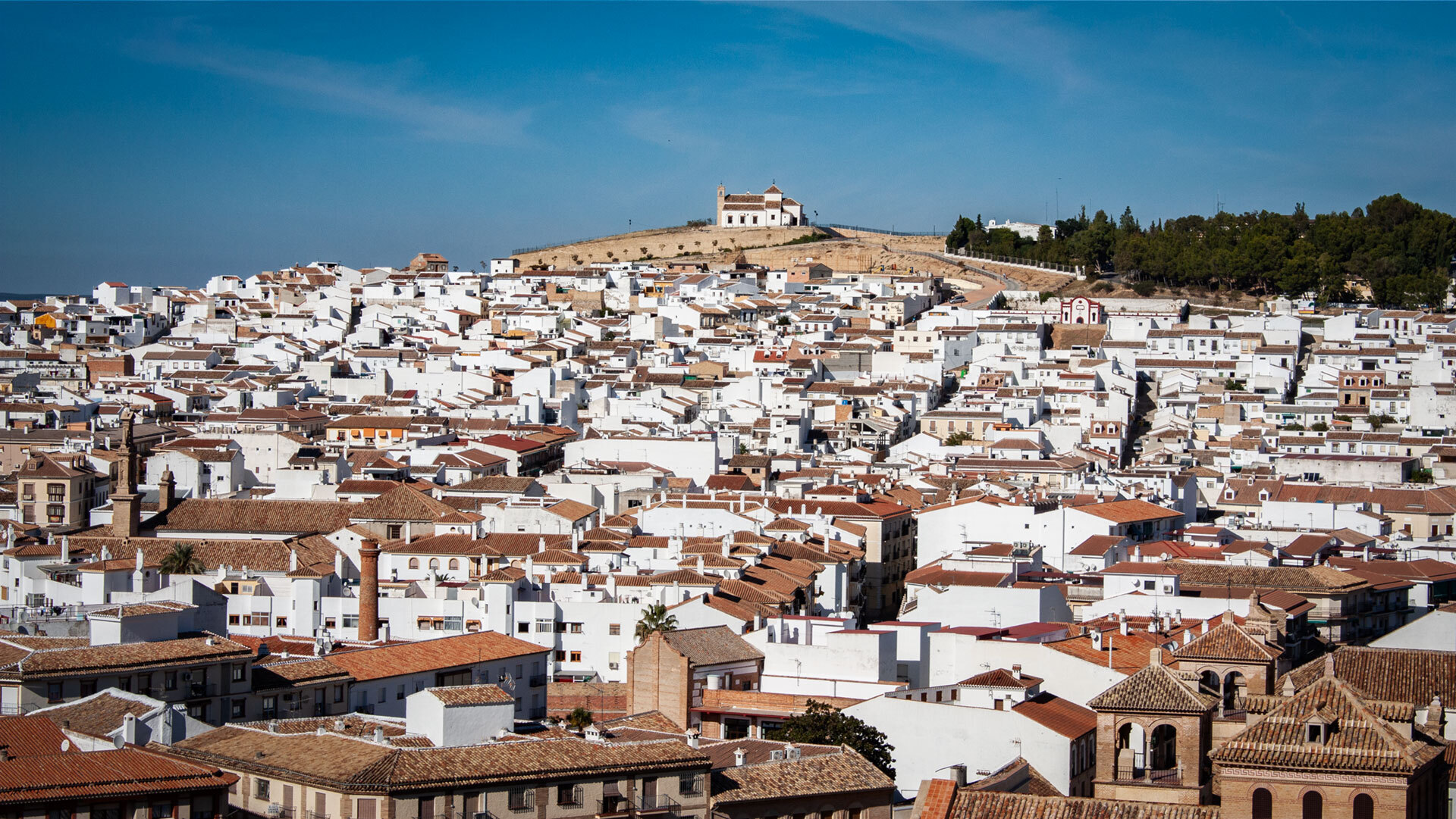
In Roman times the town was called Antikaria. The Roman baths next to the Colegiata date from this era, as does the Ephebus of Antequera, a bronze figure of a youth from the 1st century AD, which is on display in the Museo Municipal. During the Moorish period, from the 8th to the 15th century, Antequera became a fortress town – the 14th-century Alcazaba still stands atop the town’s hill today.
1410 wurde die Stadt im Zuge der Reconquista durch Infante Fernando erobert, der später als Ferdinand I. von Aragón König wurde. Der Beiname „el de Antequera” – „der von Antequera” – machte die Stadt schlagartig in ganz Spanien bekannt. In Renaissance und Barock entstanden anschließend die Real Colegiata de Santa María la Mayor, der prachtvolle Arco de los Gigantes (1585) und zahlreiche Kirchen. Antequera galt einst als „Stadt mit den meisten Kirchen pro Einwohner in Andalusien” – von der Alcazaba sieht man über 30 Glockentürme über die Dächer ragen.
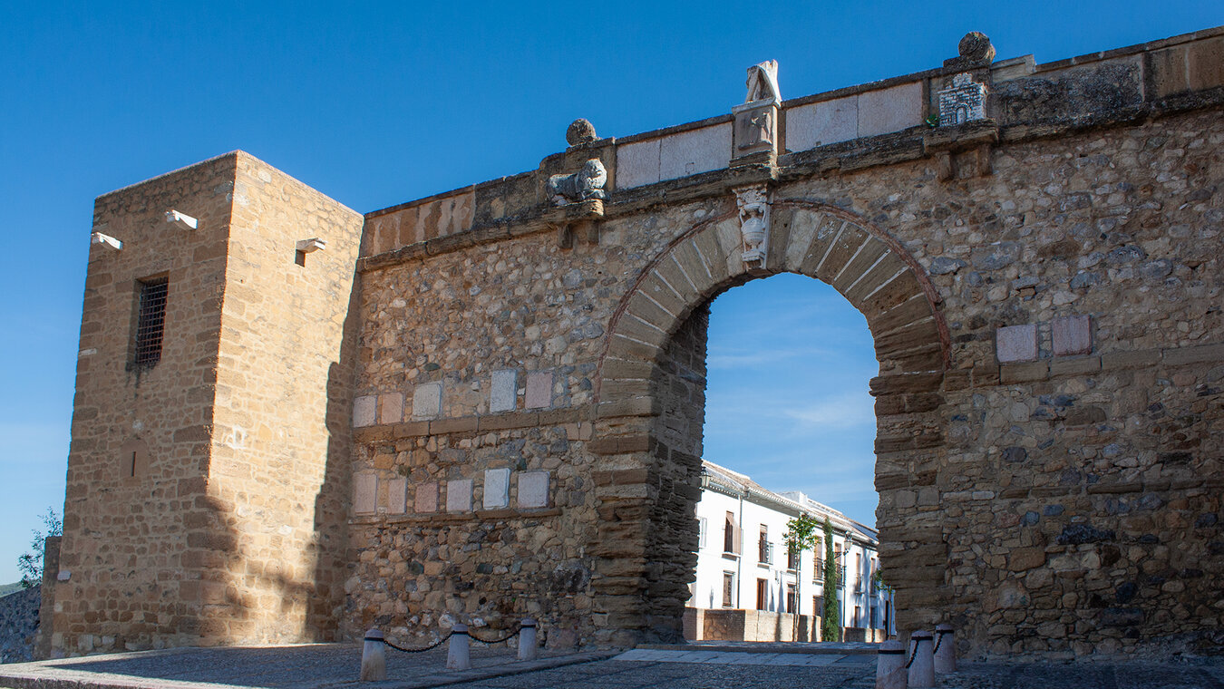
Three UNESCO World Heritage components within reach
What lies on Antequera’s doorstep
Anyone who chooses Antequera as a destination has all three components of the UNESCO World Heritage Site Antequera Dolmens Site within easy reach. The three dolmens – Menga, Viera and Tholos de El Romeral – lie on the northern edge of town and can be visited in half a day. The Peña de los Enamorados rises two kilometres north-east of the town and can be reached on foot via a waymarked trail. And the El Torcal karst plateau stretches out just 15 kilometres to the south.
This is unique on the UNESCO World Heritage List. While other heritage sites are often compact (an old town, a temple complex, a nature park), the Antequera Dolmens Site comprises five components – three dolmens, a mountain and a nature reserve. All of them can be reached via the town, and all are linked by astronomical alignments that have worked for 5,000 years.
Fertile surroundings and local cuisine
Warum die Region als „Spargelkammer Andalusiens” gilt
Antequera lies at the heart of the Vega de Antequera, one of Andalusia’s most fertile farming areas. Irrigated by the River Guadalhorce, olive groves, asparagus fields, grain and sunflowers grow here. In high summer, the yellow sunflower fields around the town glow brightly – a sight that never appears in Andalusian travel literature but ranks among the most beautiful views in the region.
The region’s olive oil carries the protected designation of origin DOP Antequera and is considered one of the best in Spain. Asparagus from Antequera is a prized speciality in markets from Seville to Madrid – the asparagus season runs from March to May.
Two classics dominate the local cuisine: Porra antequerana is a thick, cold tomato soup made from tomatoes, bread, olive oil and garlic – a more intense version of gazpacho. Bienmesabe is a sweet almond speciality – a dense spread made from ground almonds, sugar and egg yolk. Then there’s Mollete antequerano, Polvorones and Rosco de Vino.
Why does Antequera remain little known?
The motorway effect
Paradoxically, the answer lies in its central location. Anyone driving from Málaga to Seville or Granada passes Antequera on the A-92 and A-45. The town sits tucked away in the valley, a few kilometres off the motorway, almost hidden behind the hills. Anyone not planning a stopover simply sees an exit sign – and drives on.
There is also a marketing effect at play: Andalusia’s major tourist centres have, over decades, shaped an image of Andalusia in which Antequera simply doesn’t feature. The Alhambra, the Mezquita, the Giralda, the Costa del Sol – these are the images that stick. Antequera, with its Alcazaba and its 30 churches, finds no place on the typical Andalusia postcard.
For travellers, this is a stroke of luck. Anyone who comes to Antequera finds a fully functioning Andalusian town with everything that entails – tapas bars, squares, fortresses, churches – but without the crowds of Granada or Seville. UNESCO discovered Antequera in 2016; the international guidebooks are slowly catching up.
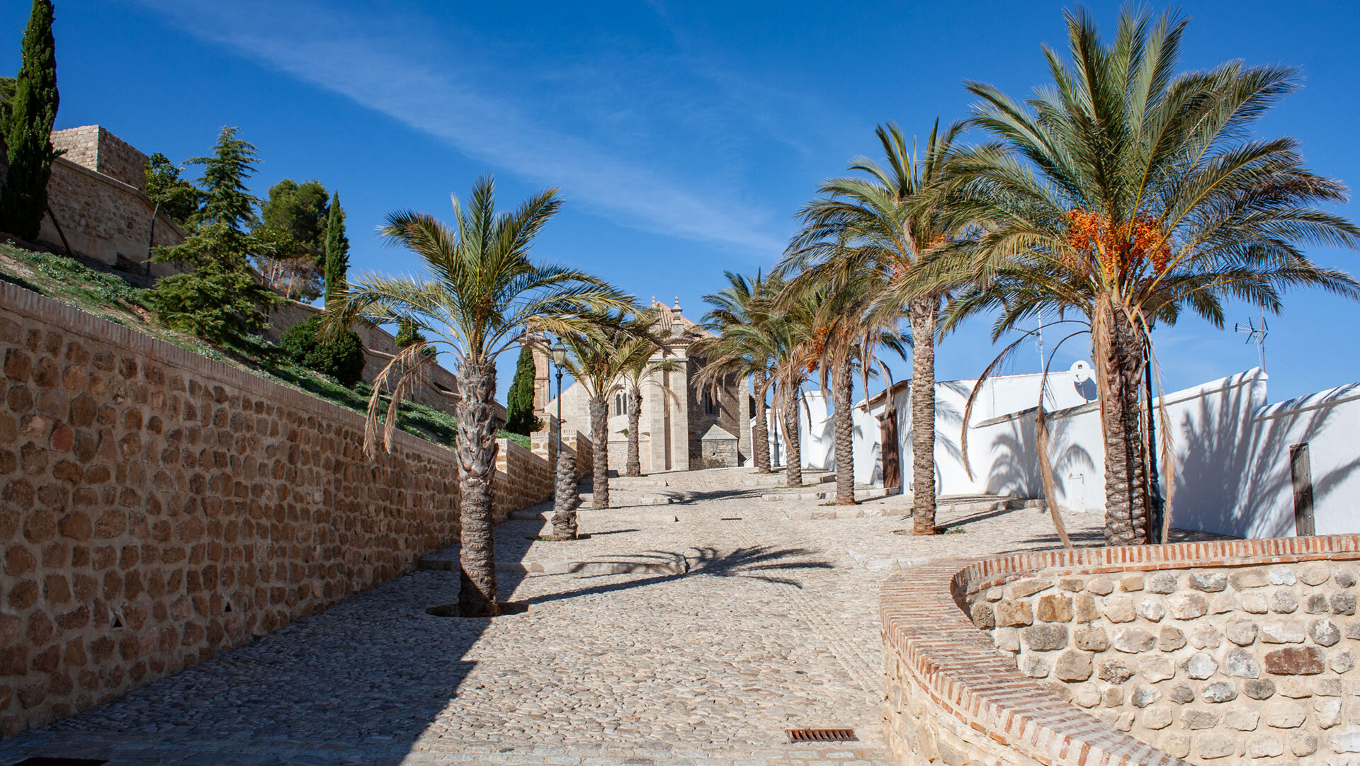
What’s the best way to get there?
Getting there by plane, train or car
For international travellers, Málaga-Costa del Sol Airport (AGP) is the obvious point of entry. From there it’s about 55 kilometres on the A-45 to Antequera, with a journey time of roughly 50 minutes. Hire cars are widely available and affordable at the airport.
Travelling by train is particularly convenient: Antequera has two railway stations. Santa Ana station serves the AVE high-speed line to Málaga (25–30 minutes), Seville (45 minutes), Córdoba (30 minutes) and Madrid (a good two hours). Antequera-Ciudad station is more centrally located and serves regional connections.
By car, Antequera can be reached from virtually anywhere in Andalusia in under two hours. Anyone planning a touring holiday can use the town as a midpoint between Málaga and Seville, or between Granada and Córdoba. Car parks in the town centre are limited but usually available – unlike in Seville or Granada.
Conclusion: the geographical heart that most people overlook
Antequera is Andalusia’s most central town – and, at the same time, the least visited among the region’s historically significant towns. Anyone who chooses it as a destination gets a UNESCO World Heritage Site, a Moorish fortress, Renaissance churches and excellent olive oil – without the crowds of Andalusia’s well-known magnets.
Its location makes Antequera the ideal base for a tour of Andalusia: Granada, Seville, Córdoba and Málaga are all reachable in under two hours, and El Torcal and the dolmens in under 30 minutes. Anyone looking for a place from which to explore the whole region will find more than just a midpoint here – they’ll find a town with its own 5,000-year history.
Weiter zur Anreise zum El Torcal, zum UNESCO-Welterbe Antequera Dolmens Site, zur Alcazaba von Antequera, zur Besten Reisezeit für El Torcal & Antequera und zum Paraje Natural Torcal de Antequera. Back to overview
Frequently asked questions about Antequera’s location
Where exactly is Antequera?
How far is Antequera from Málaga?
Is Antequera worth visiting?
How many days should you plan for Antequera?
What language is spoken in Antequera?
This article is based on the on-the-ground knowledge of the Gequo editorial team – publishers of several hiking guides and operators of Sunhikes.com. Last updated: May 2026