El Torcal geomorphology: where karst has four faces
Anyone looking at El Torcal on a map sees, at first glance, a continuous karst area of around 17 square kilometres. Anyone walking through it quickly notices that this area is not a homogeneous block. The elevations change, the rock structures shift, and depending on where you stand, the karst looks completely different — a bizarre labyrinth of pillars here, a bare ridge there, a rugged escarpment at the edge.
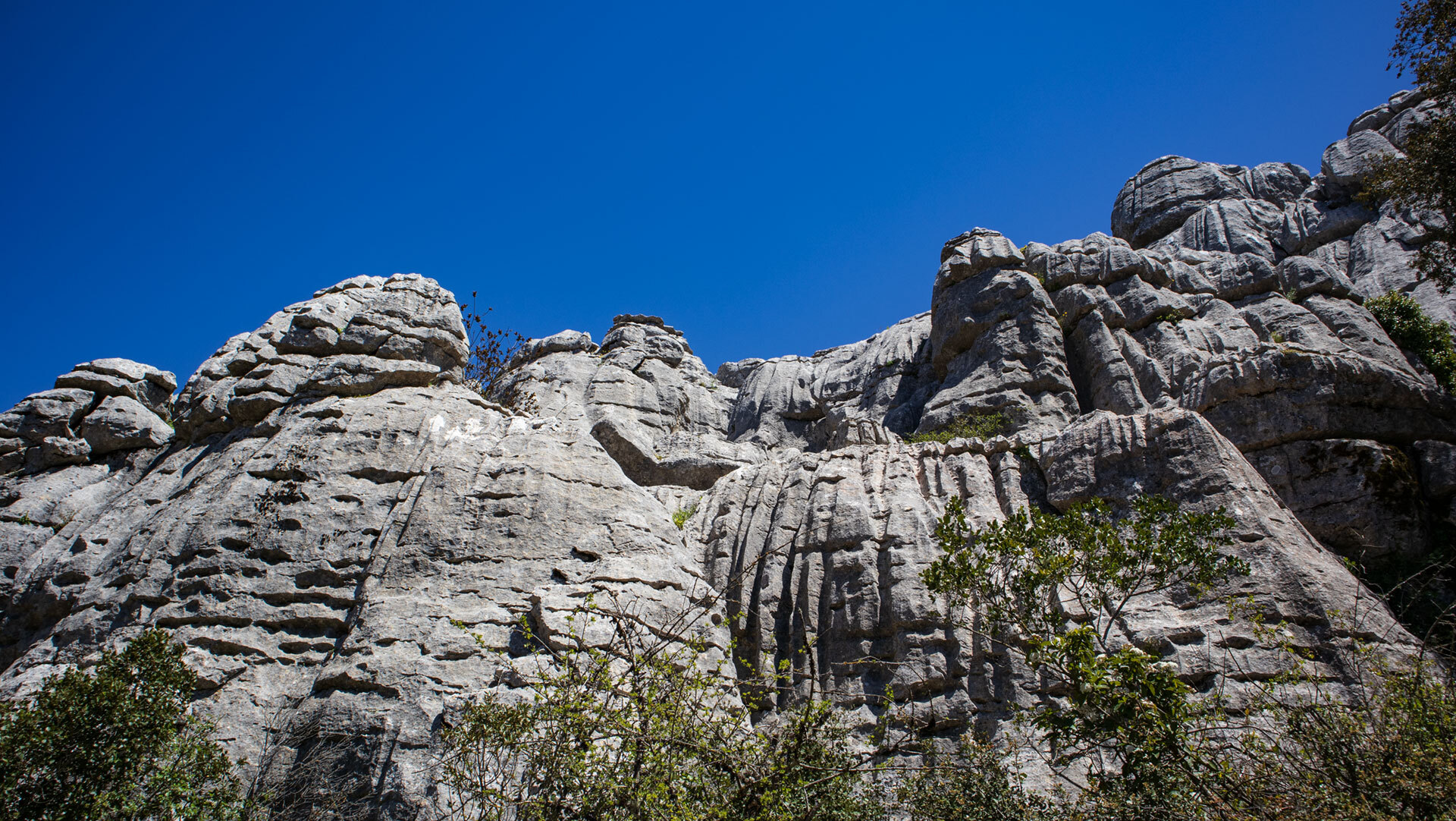
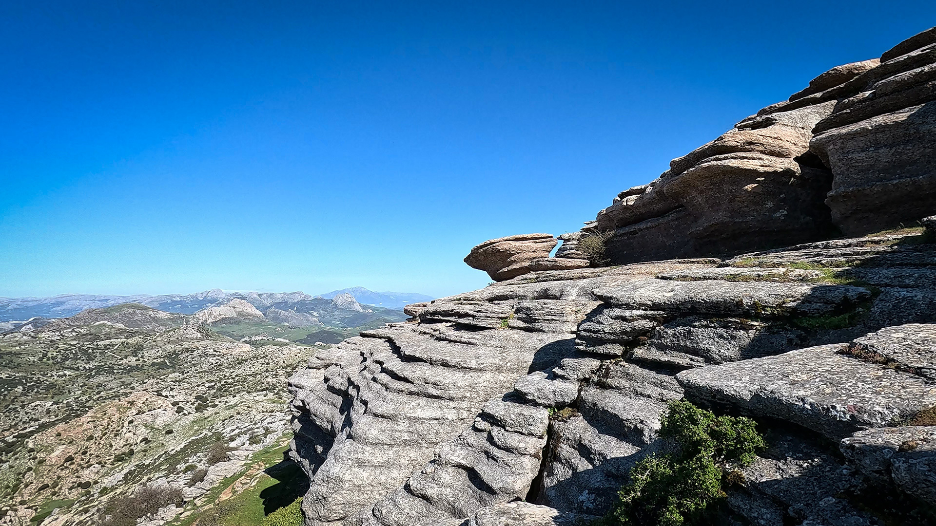
Rocky landscape in the El Torcal de Antequera nature reserve
In fact, the nature park is divided into four geomorphological zones: Sierra Pelada, Torcal Alto, Torcal Bajo, and Tajos und Vilaneras. Each zone has its own elevations, its own rock forms, and its own character.
Where the four zones lie, what sets them apart, and how together they form the karst massif that visitors explore today.
The wider massif
Before getting to grips with the internal distinctions, it is worth looking at the bigger picture. El Torcal does not sit in isolation within the landscape but is part of an extensive mountain system that runs through Andalusia from west to east in a striking arc.
Where El Torcal sits within the Subbetica arc
The Subbetic Cordillera is an arc-shaped mountain system in southern Spain that geologically belongs to the Betic Chain — the range that, together with the Rif Atlas, frames the Strait of Gibraltar. El Torcal forms an outlying spur of this Subbetic massif. It lies in the central part of the province of Málaga, around 14 kilometres south of Antequera and three kilometres north of Villanueva de la Concepción.
This setting explains a good deal. The karst of El Torcal is not the only one in Andalusia, but it is one of the most impressive, because it is concentrated at the high point of a Subbética spur. The surrounding landscape is open hill country, and the karst area rises up as an isolated high plateau — which is what makes the rock formations so distinctive when seen from a distance.
17 km² between 1,100 and 1,400 metres
Including its buffer zone, the nature park covers around 17 square kilometres. Compared with European nature parks, that is not huge, but given the concentration of different karst phenomena within such a small area, it is an exceptional figure. The elevation varies between 1,100 and 1,400 metres above sea level.
The highest point is Camorro de las Siete Mesas, also known as Camorro del Mástil. Depending on the source, its height is given as between 1,336 and 1,348 metres; Sunhikes puts the limestone massif at “up to 1,370 metres”. At the summit stands the “Mástil de los Montañeros” — a geodetic survey marker dating from the 1970s.
The four geomorphological zones
The official division of the nature park into four zones comes from the geomorphological descriptions produced by the Junta de Andalucía. It follows the natural topography and describes which parts of the terrain differ in position, elevation and rock character.
Sierra Pelada – the northern edge
Sierra Pelada lies in the northern part of the nature park. The name literally means “bare sierra” — a reference to the sparser vegetation of this section compared with the more densely scrubbed interior of the massif. Sierra Pelada forms the transition from El Torcal to the Vega de Antequera plateau in the north and, as a north-facing border area, is cooler than the interior. It also serves as an ecological buffer zone between the nature park and the surrounding farmland.
Torcal Alto – the rock labyrinth with the visitor centre
Torcal Alto is the zone most visitors associate with “El Torcal”. The visitor centre is here, Ruta Verde and Ruta Amarilla both start here, and the most spectacular rock formations are found here — El Tornillo, El Sombrerillo, Las Meninas, El Castillo de Gaudí. Camorro de las Siete Mesas, the highest point, also lies within this zone.
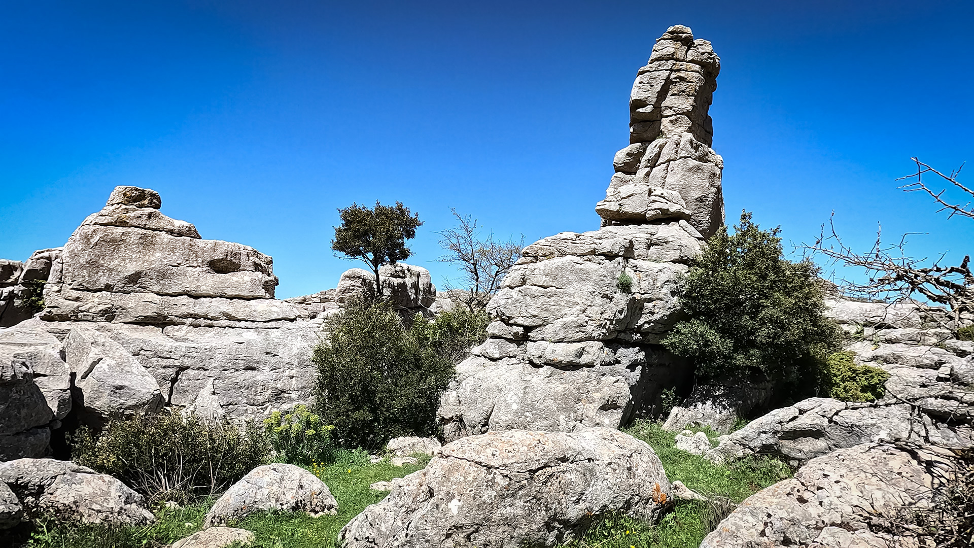
Geomorphologically, Torcal Alto is the true rock labyrinth: a dense network of pillars, narrow passages, eroded basins and tight corridors. The limestone layers are best preserved here and have been most impressively shaped by erosion. No other zone of the massif is so densely packed with striking formations.
Torcal Bajo – the lower sister
As the name suggests, Torcal Bajo lies lower than Torcal Alto. Topographically, this zone extends below the central plateau and closes it off to the south. The rock formations are less dramatic than in Torcal Alto, but flatter karst features such as extensive Lapiaz surfaces and the odd gorge come into their own here. Torcal Bajo is less developed for tourism — anyone taking the guided Antigua Ruta Roja passes partly through terrain that belongs to this zone.
Tajos und Vilaneras – the crags at the edge
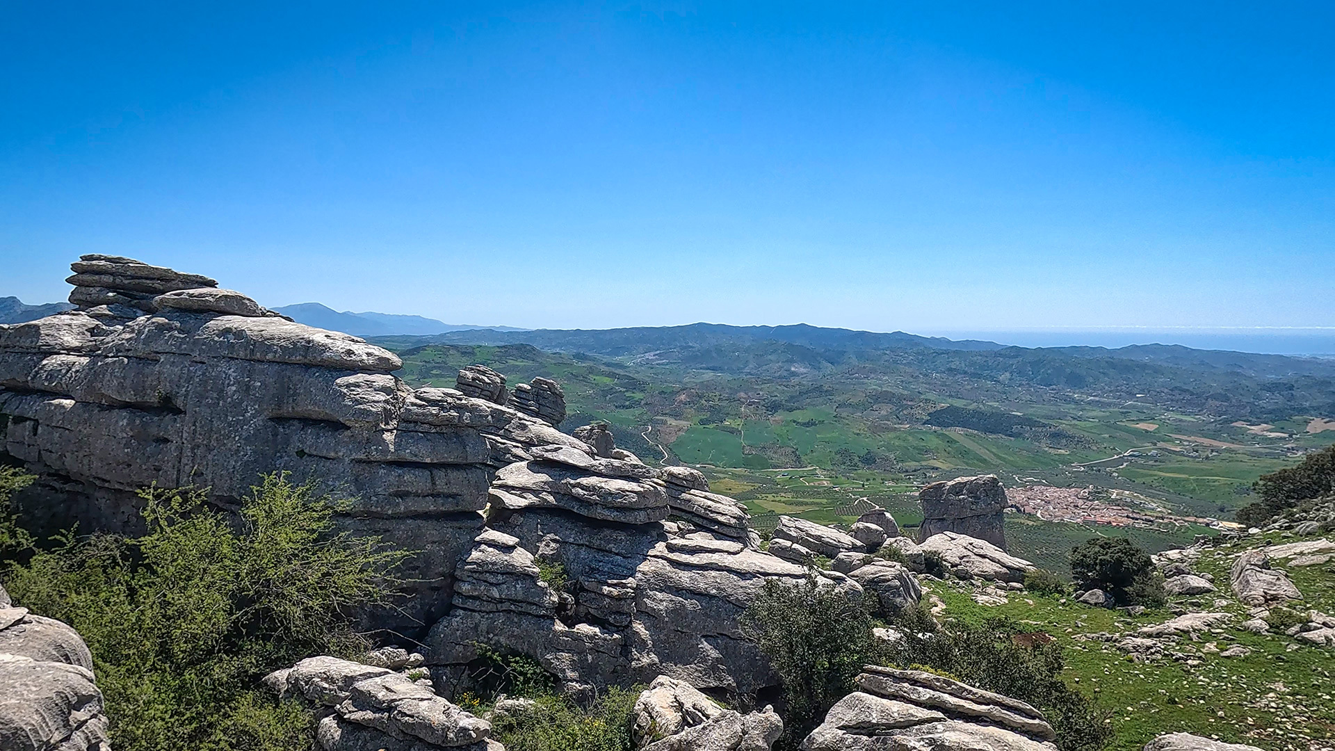
The Tajos und Vilaneras zone lies at the edge of the massif and is marked by steep drops — “Tajos” is Spanish for “crags” or “escarpments”. Here the high plateau ends abruptly in sheer rock faces that offer an open view of the surrounding valley and the Sierra de las Cabras to the south.
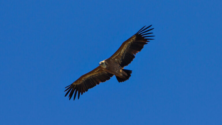
Geomorphologically, the Tajos are the youngest parts of the massif — where erosion and slope failure have broken up the plateau. For birds of prey, these cliffs are ideal breeding grounds; the area overlaps with the central ZEPA protected zones for golden eagle and peregrine falcon.
How the karst formed: four geological phases
The nature park’s present four-way division is the result of a geological history stretching back more than 200 million years. It explains why limestone is found here at all, and why it takes such a bizarre form.
From the Tethys Sea to the massif (phases 1 and 2)
Phase one begins 150 to 200 million years ago, in the Jurassic. The entire area of what is now Andalusia lay under water at the time — part of the Tethys Sea, a warm corridor between the Atlantic and the later Mediterranean. Shells, micro-organisms and calcareous deposits settled on the seabed layer by layer. Over millions of years this built up the compact limestone deposits that today form the basic material of the massif.
Phase two began around 60 million years ago: the Alpine orogeny. The African plate pushed against the Eurasian plate, folding the horizontal limestone layers and thrusting them up into mountains. This created extensional joints — vertical fissures that later became the axes of karst erosion.
Water shapes the rock (phases 3 and 4)
Phase three is the actual karst weathering. Rainwater absorbs carbon dioxide from the air and becomes mildly acidic (carbonic acid). This weak acid slowly dissolves limestone, above all along the fissures created in phase two. Over millions of years, the fissures widened into passages, and the passages into gorges; individual blocks of rock were isolated, sometimes eroded into pillars. Frost split off further blocks.
Phase four is the ongoing sculpting — it never stops. Water, wind, ice and the varying hardness of the limestone layers continue to shape the pillars, towers and basins visible today. What visitors see now is a snapshot of a geological process that remains active to this day.
What unites the zones: karst phenomena in cross-section
Doline, Lapiaz, Pilas
The name “Torcal” derives from the Spanish word “Torca” — circular depressions in the ground caused by localised dissolution of limestone. A doline is nothing more than an enlarged Torca: a funnel-shaped collapse, sometimes only a few metres wide, sometimes more than twenty metres. In El Torcal, dolines occur in all four zones.
Another standard feature is “Lapiaz” — sharp-edged grooves and furrows that rainwater has carved into horizontal rock slabs; a famous example is the “Lapiaz Agrio de Caracol” on the Grand Circuit. “Pilas”, in turn, are basins — round or oval hollows in horizontal rock slabs where rainwater collects and serves as a drinking spot for wildlife.
Caves, gorges and fossils
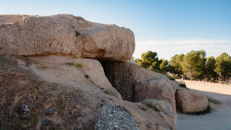
The massif is riddled with caves and shafts. Cueva del Toro in the south is one of the best known — it contains Neolithic finds and is archaeologically documented. At 230 metres deep, Sima Rasca is the best-known vertical shaft, though it is only accessible with abseiling equipment. Other caves such as Sima Azul and Cueva Mujer lie in various zones of the park.
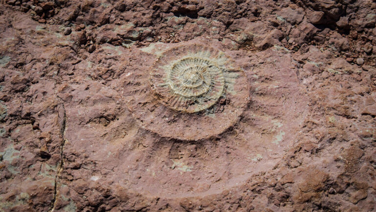
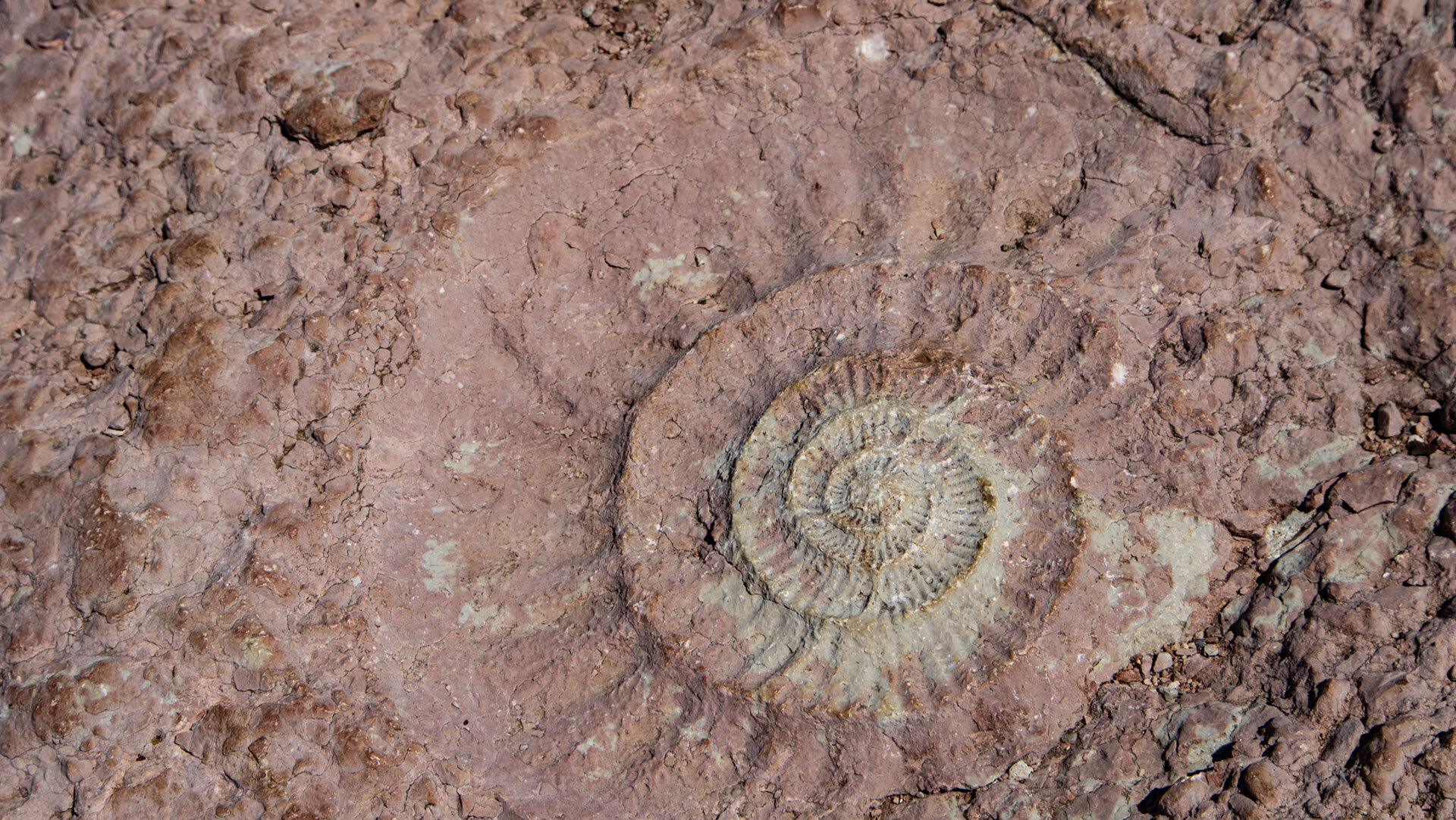
Gorges such as La Unión and Rasca cut through the terrain in several places — the result of particularly intense karst weathering along preferred fissures. And throughout the park there are fossils from the sedimentation phase: ammonites with their spiral shells, and belemnites — pencil-like remains of fossilised squid-like creatures. Anyone walking with their eyes open will spot them right at the edge of the path on many trails.
| Which zone for whom | |
|---|---|
| Torcal Alto | The right choice for all first-time visitors. This is where the visitor centre, Ruta Verde, Ruta Amarilla and the famous formations are found. The densest concentration of striking karst phenomena within a small area. |
| Sierra Pelada | Sparser-vegetated northern edge, barely developed for tourism. More suited to those with an ecological interest who want to see the transition to the agricultural plateau. |
| Torcal Bajo | Lower-lying, with less spectacular formations, but extensive Lapiaz surfaces. Partly experienced on the guided Antigua Ruta Roja. |
| Tajos und Vilaneras | Escarpments at the edge of the massif with views of the Sierra de las Cabras. An important breeding ground for birds of prey – a ZEPA protected area. Not accessible throughout. |
Conclusion – four zones, one massif
The geomorphological division of El Torcal into Sierra Pelada, Torcal Alto, Torcal Bajo and Tajos und Vilaneras is more than an administrative formality — it reflects the differing topographical and ecological character of the massif. Anyone wanting to understand the park as a whole should think of it in these four zones, set within the great arc of the Sierra Subbética. More on the specific rock formations in Torcal Alto: Rock formations in El Torcal. On the caves beneath the plateau: Caves and shafts. On the underground water system: Water and groundwater. An overview of the nature park: The karst landscape of El Torcal.
Frequently asked questions
What does "geomorphology" mean when it comes to El Torcal?
What are the nature park's four zones?
How big is El Torcal?
How high is the highest point?
What does "Torcal" actually mean?
This article is based on the on-the-ground knowledge of the Gequo editorial team – publisher of several Reisezeit hiking guides and operator of Sunhikes.com. Last updated: May 2026