The Grand Circuit at El Torcal: 8.6 km through Andalusia’s oldest stone cinema
If you want to hike El Torcal de Antequera without settling for a short loop, the Grand Circuit is your master test. It is 8.6 kilometres, 253 metres of ascent and an alpine karst plateau at over 1,300 metres, with the spiralling signatures of creatures that swam in a tropical sea 150 million years ago etched into the rock at every turn. These are ammonites, sealed into limestone that has since been lifted more than a kilometre from the depths.
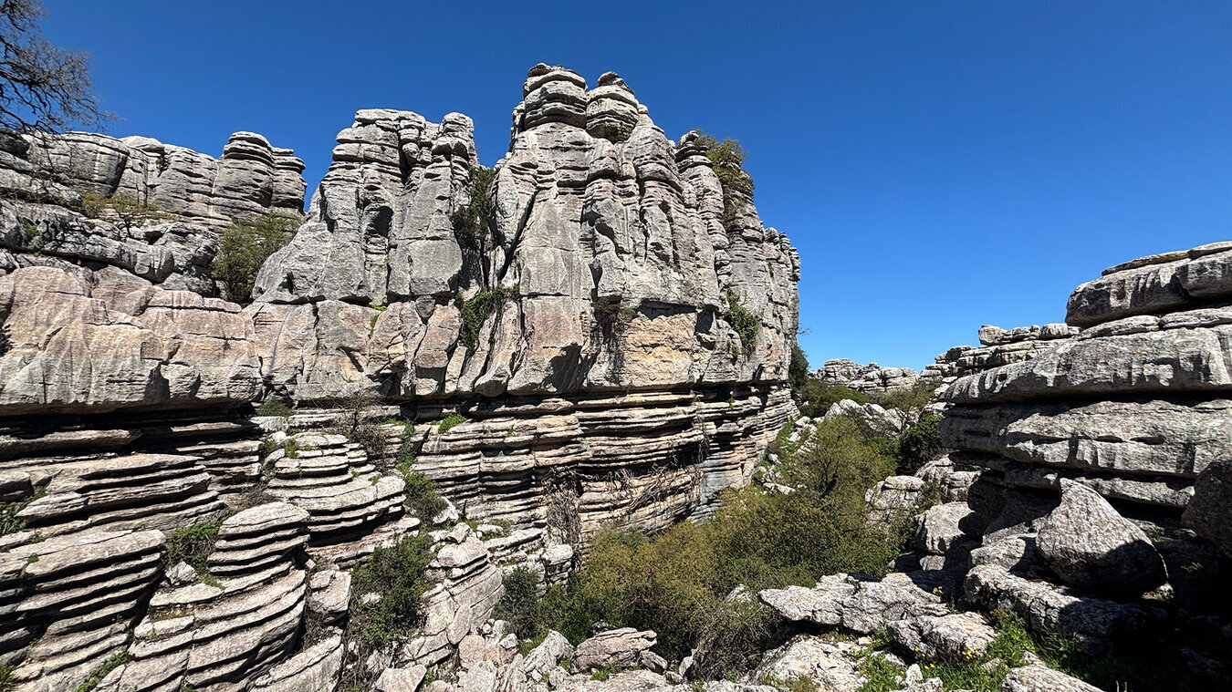
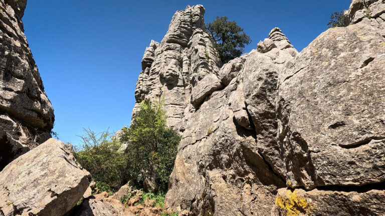
This walk brings together the best of the Ruta Verde and the Ruta Amarilla, and goes further still into areas the short routes never touch: the labyrinth of karst ridges at Las Valineras, the 230-metre-deep Sima Rasca and the geodetic summit of Camorro del Mástil at 1,348 metres. In places you move across pathless terrain that has barely changed since the Jurassic period; only the people come and go, while the mountains look on.
If you are a strong walker with a reliable sense of direction and set aside three to four and a half hours, you will experience in a single day the full range of what has made the Paraje Natural El Torcal a geological icon of Andalusia.
Route and facts: the Ruta Circular Grande
All the key figures for the Grand Circuit at a glance
| Distance | 8.6 km (circular walk) |
| Elevation change | 253 m of ascent / 253 m of descent |
| Highest point | Camorro del Mástil, 1,348 m |
| Lowest point | approx. 1,183 m |
| Duration | 3:30–4:30 hours |
| Difficulty | Moderate – alpine terrain, pathless in places |
| Character | Sure-footedness needed, mainly on paths, a good sense of direction required |
| Start / finish | Car park approx. 900 m before the Torcal Alto visitor centre |
| Waymarking | Partly the Ruta Amarilla / Ruta Verde – largely unmarked |
| Admission | Free |
| GPS-Track | sunhikes.com |
The start, the route and the key waypoints of the Ruta Circular Grande
Setting off: rough trails through the Lapiaz Agrio de Caracol
You set off from the car park around 900 metres before the Torcal Alto visitor centre – not at the centre itself but a little lower down, where the tarmac paths end and the open terrain begins. From here, rough trails lead through the Lapiaz Agrio de Caracol, a chaotically furrowed karst field whose grooves and hollows turn into little channels when it rains. Follow the trails as far as the signpost towards the visitor centre, and from there begin the circuit proper.
The main waypoints in order
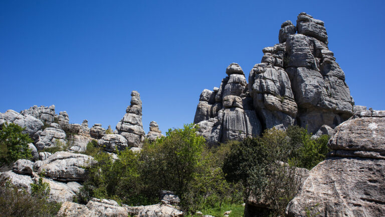
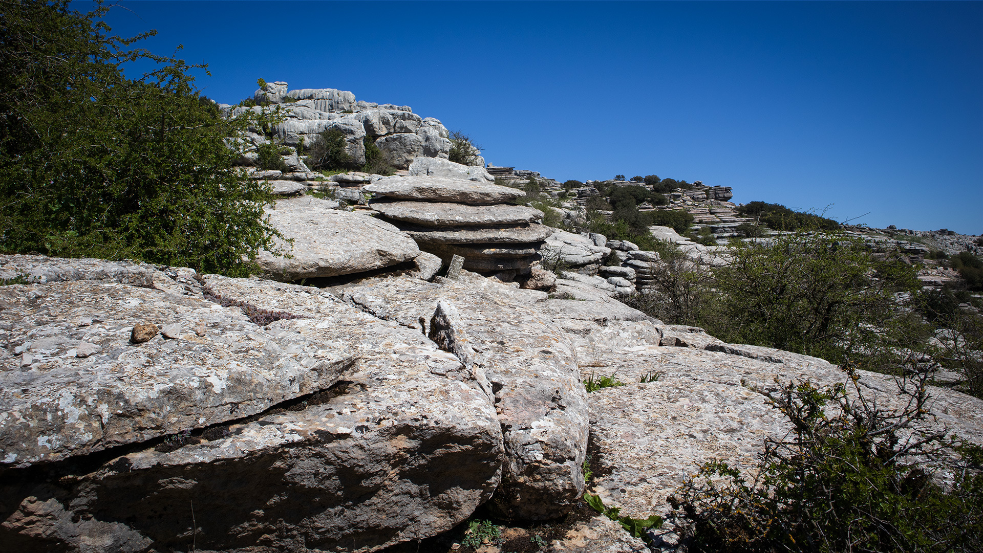
The route unfolds like a geological panorama that you leaf through page by page. Early on you pass El Tonillo (also El Tornillo – the screw), the protected landmark of the Torcal. A little further on, Las Meninas appear: weathered giant heads of limestone that gaze out over the plateau like a group of enigmatic sentinels, named after the famous painting by Velázquez.
A broad rock platform opens up the first 360° view, and here you also see the first ammonites, set into the ground like prehistoric reliefs. Shortly afterwards you reach the Mirador de las Ventanillas, one of the finest viewpoints in Andalusia; on clear days the view stretches all the way to the coast near Málaga. At the visitor centre you turn into the heart of the reserve, past the El Robot rock and into the areas of the Ruta Amarilla, with their narrow passages, damp gorges and the Las Catedrales rock group.
The middle section leads through the densest maze of formations on the route: Vereda de la Sima, El Cáliz (the chalice), El Cubo (the cube) and a boulder draped in trailing ivy. You pass La Paloma, El Falo, El Abrelatas, the two-faced stone, and La Cosa – a formation whose name simply means “the thing”, because the Andalusians could find no better term for it. Then comes La Casa de Gaudí: an irregular rock wall whose textures and curves are so reminiscent of the Barcelona architect that the name suggested itself.
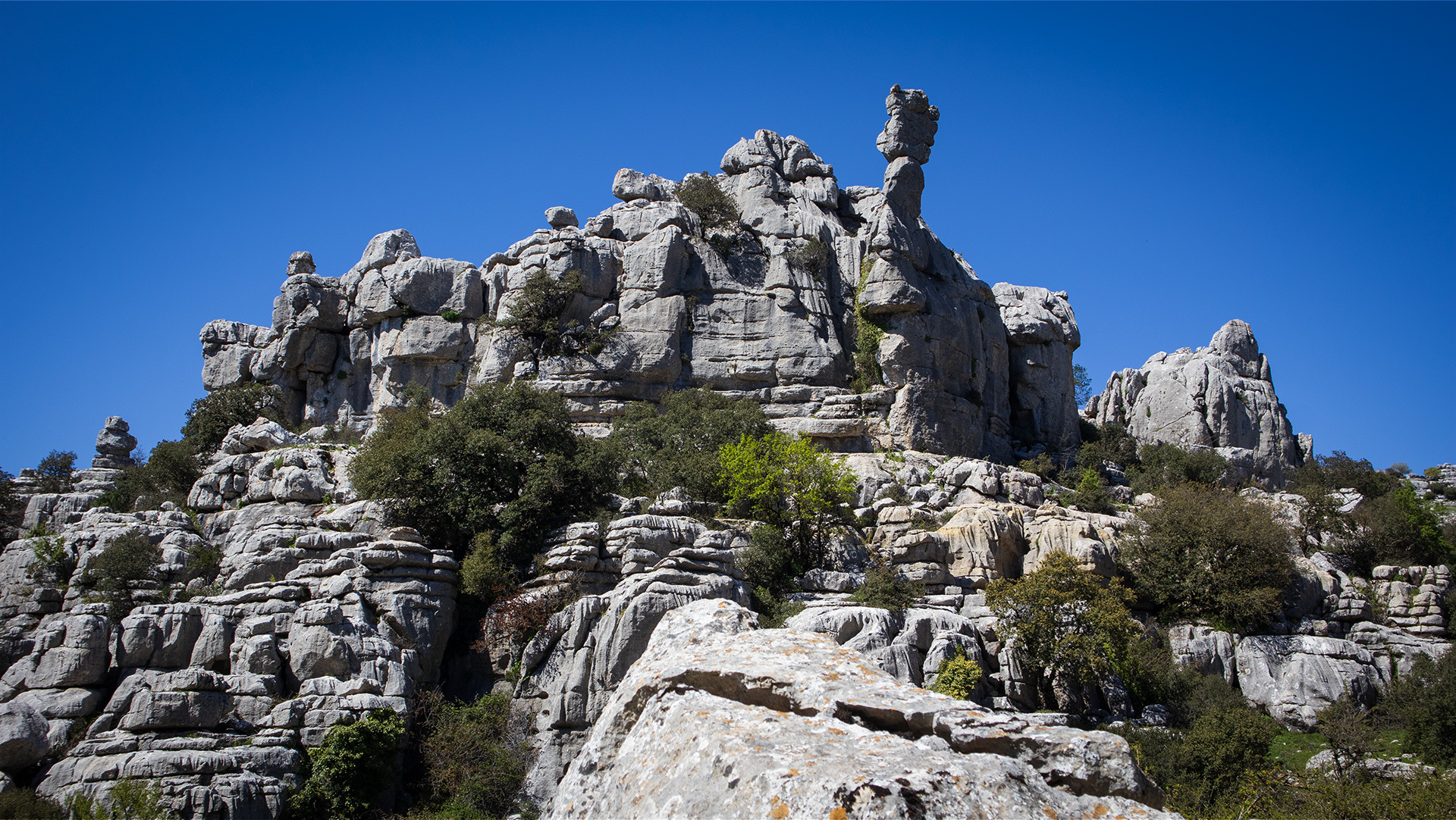
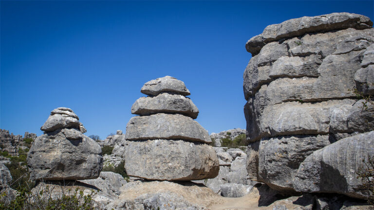
On you go, past Moño de Doña Elvira, La Maceta (the flowerpot) and La Casa del Guarda (with its recognisable limestone chimney), until you reach the Sima Rasca: a cave 230 metres deep that lies gaping open in the ground and can only be entered using abseiling techniques – walkers keep a respectful distance. Finally you climb onto the karst ridge of Camorro de las Siete Mesas / Las Valineras, with its Pilas de Bollos (layers of limestone like stacked bread rolls), Tornillos, Mesas and Arcos.
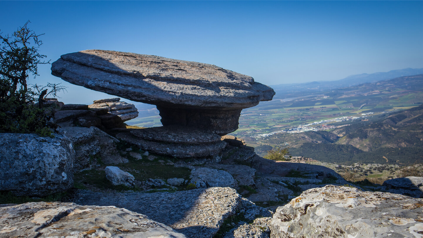
The high point is the Camorro del Mástil at 1,348 metres, crowned by the Mástil de los Montañeros, a geodetic survey marker dating from the 1970s. From here you descend to El Sombrerillo – the little hovering hat of limestone, beneath whose slab an ammonite is immortalised in the rock. Then it is back to the starting point.
Ammonites, belemnites and 150 million years of the Earth’s history
Why the karst massif is an archive of the sea
Around 150 million years ago, in the Jurassic period, the Torcal lay beneath the waters of a shallow tropical sea. Seashells, sponges and corals – and above all the spiral-coiled ammonites and the straight-shelled belemnites – sank to the sea floor and were slowly buried under lime mud. Layer upon layer, an archive of limestone was formed.
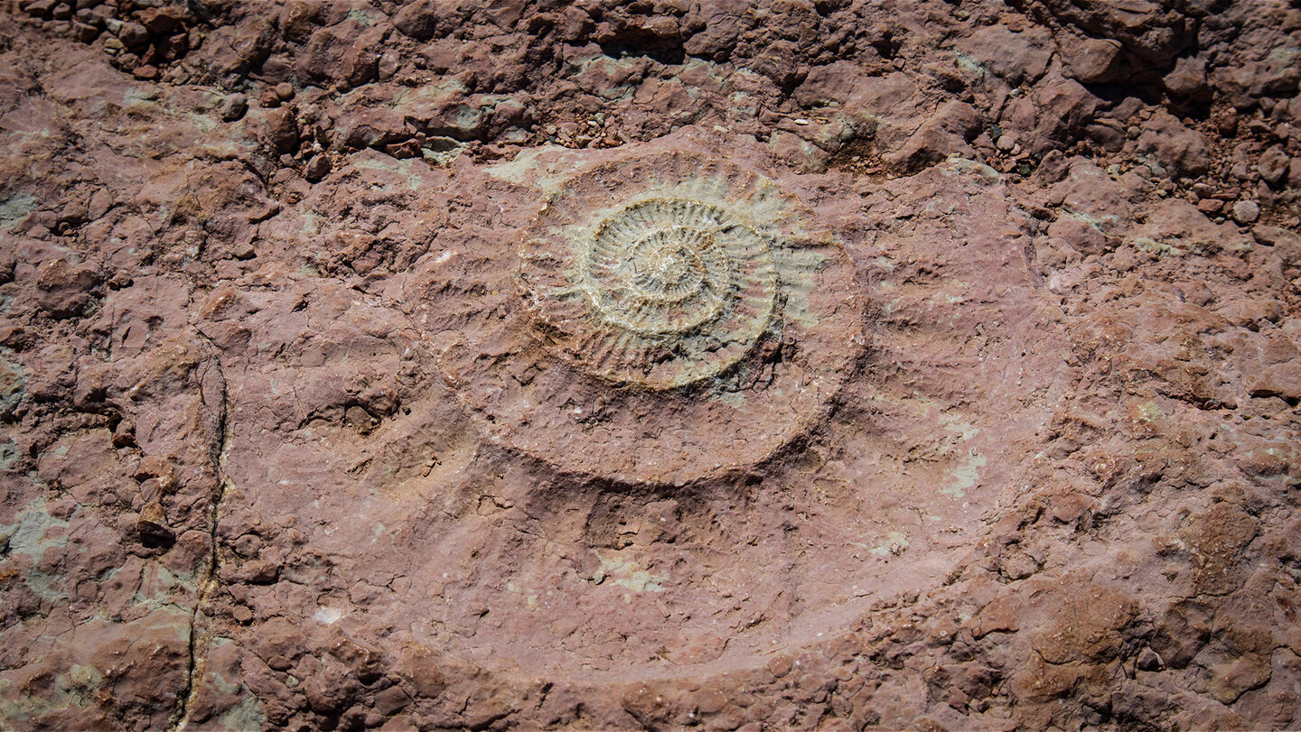
During the alpine mountain-building, tectonic forces raised this limestone more than 1,000 metres above sea level. Wind, water and frost ate away at the softer layers, leaving the harder ones standing as towers, slabs and sculptures. What you see today as rock formations was once the sea floor. The ammonites on the Grand Circuit – set into the rock, weathered but clearly recognisable – are not museum exhibits but simply part of the path. You are treading on millions of years.
Karst geology in brief
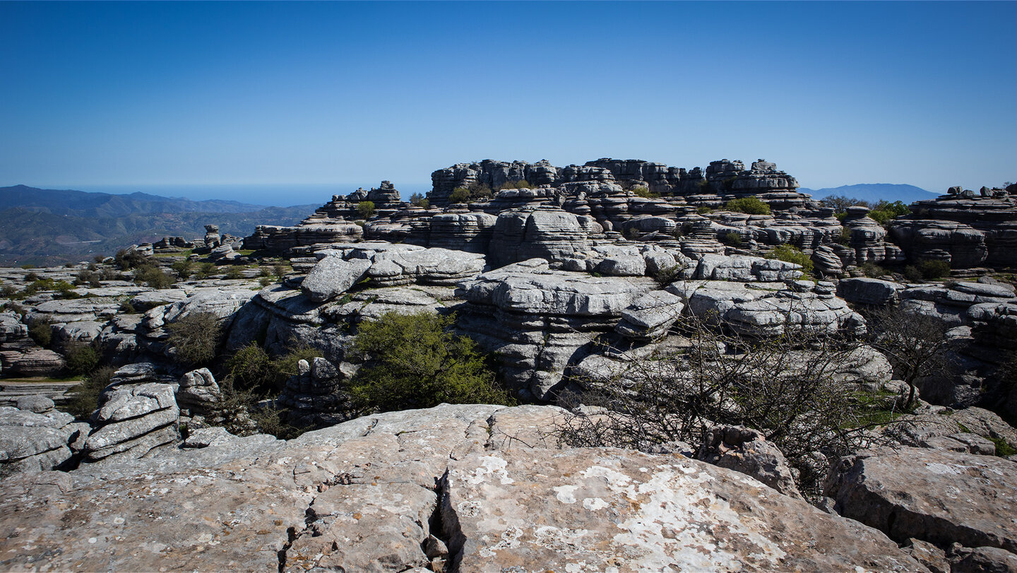
The Torcal de Antequera is regarded as one of the best-preserved karst landscapes in Europe. Limestone dissolves in rainwater (enriched with CO₂), creating grooves, sinkholes, gorges and caves – what is known as lapiaz. The horizontal bedding lines, visible on every rock face, reveal the original sediment layers of the Jurassic sea. El Sombrerillo, El Cáliz, Las Meninas – every formation arose from the same principle: selective erosion over millions of years.
Practical tips for the Grand Circuit at El Torcal de Antequera
Equipment, getting there and the visitor centre
Equipment: sturdy walking boots are essential – the terrain is stony, uneven and slippery in the wet. Allow at least 1.5 litres of water per person. Dress in layers: at 1,100–1,400 m it is noticeably cooler than on the coast. Sun protection and wind- and waterproofs belong in every rucksack.
Getting there: by car along the A-343 → A-7075 towards Villanueva de la Concepción to the Torcal Alto visitor centre (approx. 14–15 km / 20 min from Antequera). The car park at the top is free but fills up quickly at weekends and on public holidays – our recommendation is to arrive from 9:00 am. If the car park is full, take the shuttle bus (€1.50–2 per person) or walk up via the Ruta Naranja.
Torcal Alto visitor centre: admission free. Open in winter (Nov–Mar) 10 am–5 pm and in summer (Apr–Oct) 10 am–7 pm. Closed on 25 December and on 1 and 6 January. Tel.: +34 952 243 324 · reservas@torcaldeantequera.com
Check the route is open beforehand: the Grand Circuit may be closed at short notice due to weather conditions or conservation measures. If in doubt, ask at the visitor centre in advance.
Best time to visit: spring (March–May) and autumn (October–November). In summer the plateau can be very hot and offers little shade.
Navigation: the route is pathless in places. A good sense of direction is expressly required. A GPS track is available on Sunhikes.
Sima Rasca: this 230 m-deep cave lies right beside the path – be sure to keep your distance, as it can only be entered using abseiling techniques.
Conclusion: the Grand Circuit is El Torcal in its full dimension
It is 8.6 kilometres that feel like 150 million years. The Ruta Circular Grande is the most demanding of the freely accessible routes in the Paraje Natural El Torcal de Antequera – and the most rewarding. You see more formations, more fossils and more open space than on all the other paths put together. With the Camorro del Mástil as the highest point and El Sombrerillo as the finale, this is a walk with a real narrative arc.
If you would prefer a gentler introduction, you will find it on the Ruta Verde (1.8 km) or the Ruta Amarilla (3.1 km). An overview of all the walking routes is available in the walking hub.
Frequently asked questions about the Grand Circuit at El Torcal
Is the Grand Circuit suitable for beginners?
Where can you find the ammonites along the route?
Do you need to book or pay for the Grand Circuit?
How do you get to the start of the Grand Circuit?
This article draws on the on-the-ground knowledge of the Gequo editorial team – publishers of several Reisezeit walking guides and the people behind Sunhikes.com. Correct as of May 2026.