Ruta Amarilla: through the rock labyrinth of El Torcal – 3.1 km in another world
Standing at the start of the Ruta Amarilla in El Torcal, you feel as though you are stepping into another world. Great blocks of limestone rear up on either side, and between them open narrow passages through which the wind sings as though through the pipes of an organ. Some 150 million years ago, all of this lay on the bed of a tropical sea. Today you walk right through the middle of it.
At 3.1 kilometres, the yellow route is the middle option of the three freely accessible trails in the Paraje Natural Torcal de Antequera – and, for many, the loveliest. It leads deeper into the labyrinth than the short Ruta Verde, yet without making the demands of the Great Loop. In an hour and a half to two and a half hours you pass the park’s most famous rock formations: El Tornillo, El Cáliz, El Sombrerillo and the Callejón del Tabaco. Each has a name, and each name tells a story.
Sturdy footwear, a litre of water and a free afternoon are all you need. The rest takes care of itself.
Route and facts: the Ruta Amarilla at a glance
All the key details of the yellow route
| Distance | 3.1 km (circular walk) |
| Elevation | 69 m of ascent / 69 m of descent |
| Highest point | 1,230 m |
| Lowest point | 1,195 m |
| Duration | 1:30–2:15 h |
| Difficulty | Moderate – sure-footedness required, mostly footpaths |
| Character | Well waymarked, heavily used, sturdy footwear recommended |
| Start / finish | Torcal Alto visitor centre (upper car park) |
| Waymarking | Yellow waymarking posts (Ruta Amarilla) |
| Admission | Free |
| GPS-Track | sunhikes.com |
Start, route and the best-known rock formations
A shared start with the Ruta Verde
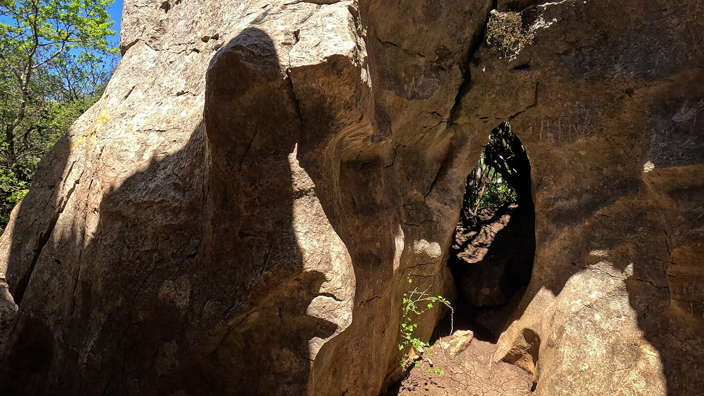
Like the Ruta Verde, the Ruta Amarilla sets off right by the Torcal Alto visitor centre. For the first few metres the two routes run together: well waymarked paths lead into the rock labyrinth, past the first limestone formations that already set the mood. At the central fork the ways part. Follow the yellow arrow and you turn off, plunging into the denser, shadier terrain of the Ruta Amarilla.
The highlights: rock formations, ravines and the mirador
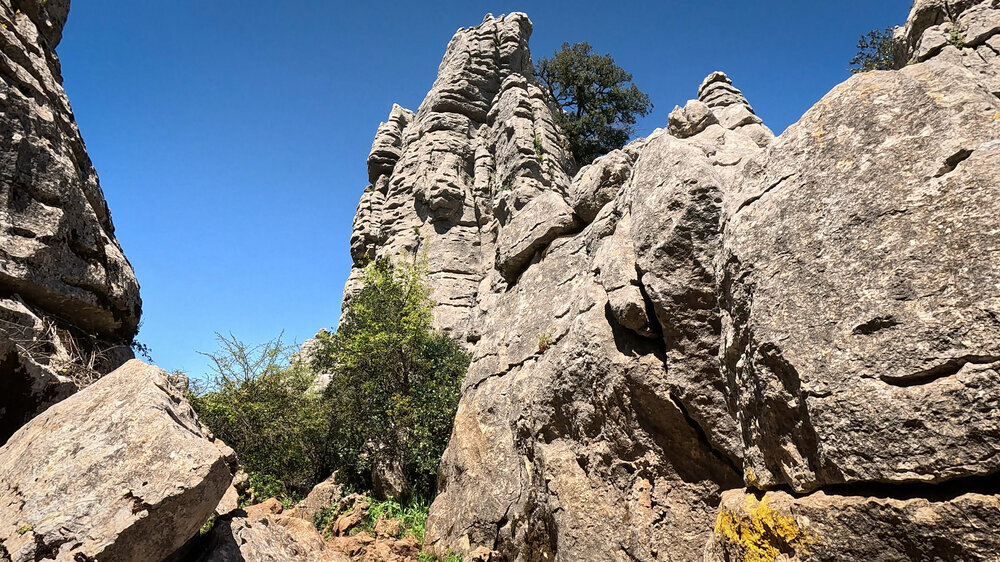
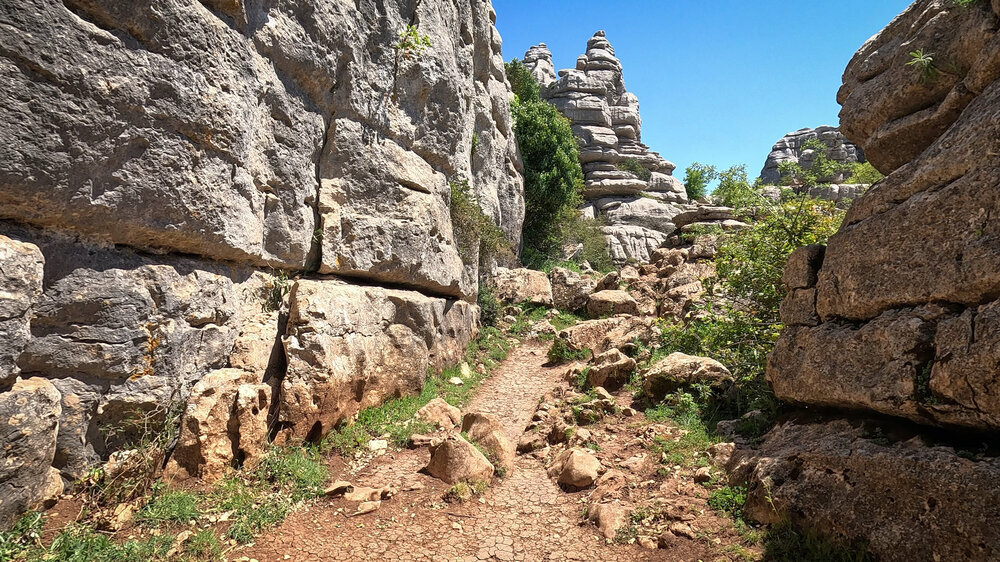
What sets the Ruta Amarilla apart from the short green route is, above all, the rocky ravines you pass through: shady, damp and greener than the open plateaus. Ivy climbs the walls, ferns fill the crevices, and the noise of the world disappears entirely.
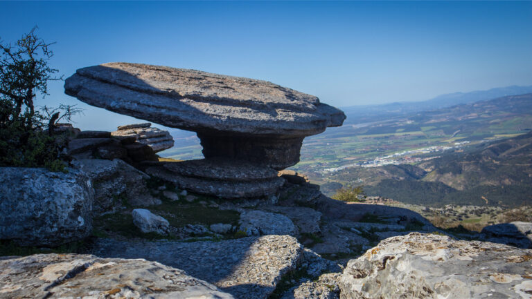
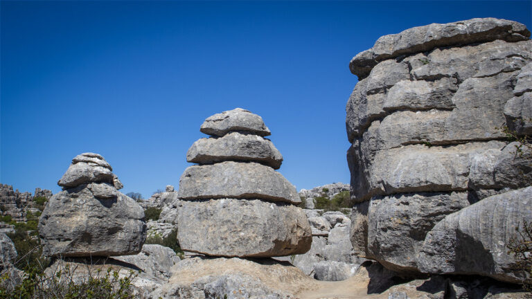
The main formations, in the order you meet them: El Cáliz (the chalice) – a single block of limestone that rises from the ground like an oversized drinking vessel. El Dado (the dice) – perfectly rectangular, as if someone had taken careful measurements. El Tornillo (the screw) – the best-known landmark in the entire park, a twisted limestone pillar under protection. El Sombrerillo (the little hat) – a slab that seems to float freely on a slender base, with an ammonite embedded in the rock beneath it.
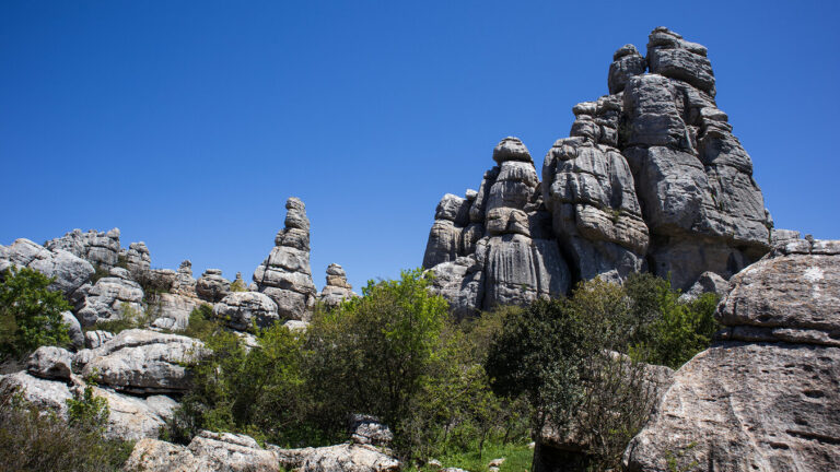
Then comes the Callejón del Tabaco (the tobacco alley): a narrow rock passage so tight that you draw in your shoulders, and so high that the daylight reaches you only as a thin strip. Next is the Callejón Oscuro (the dark alley) – narrower still, and shadier. Finally there is Las Catedrales: soaring rock walls that recall the towers of a Gothic cathedral, formed from the same horizontal bedding lines that run through the whole of El Torcal.
Just before you return to the visitor centre, the short detour to the Mirador de las Ventanillas is well worth it, only 150 metres from the centre. From here the view opens out over the valley of the Río Campanillas, towards the village of Villanueva de la Concepción and, on a clear day, all the way to the coast at Málaga. On especially clear winter days you are said to be able to make out the silhouette of the African coast – a view that puts the geological scale of El Torcal into perspective once more: the sea that once lay up here now sits 1,200 metres below and 100 kilometres away.
Understanding the rock labyrinth: the origins and geology of the Ruta Amarilla
How a sea floor became a karst labyrinth
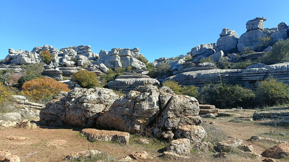
The horizontal bedding lines you see on every rock face along the Ruta Amarilla are this range’s growth rings. Each line marks a phase of deposition in the Jurassic sea that once covered the entire region 150 million years ago. As the tectonic plates shifted, the limestone was folded, uplifted and wrenched more than 1,000 metres up out of the depths.
What followed was erosion: rainwater, made slightly acidic by dissolved CO₂, ate into the limestone surface. Soft layers vanished, harder ones remained standing. The results stand today along the Ruta Amarilla and carry names – El Tornillo, El Cáliz, Las Catedrales. What looks like sculpture is in fact the record of a 150-million-year process. Nowhere is this clearer than in the horizontal bedding lines that run like growth rings through every rock face: each line is a phase of deposition, held fast for all time.
Karst geology on the Ruta Amarilla
The lapiaz – the fluted karst field – forms when rainwater dissolves the limestone along cracks and joints. The sharp-edged grooves and channels on the rock surfaces are the visible result. El Tornillo owes its screw-like shape to a particularly resistant core of limestone, around which the softer layers eroded away. It is protected not for its rarity, but for its power as a symbol of the entire Torcal massif.
Practical tips for the Ruta Amarilla in El Torcal de Antequera
Kit, getting there and on-site advice
Kit: Sturdy walking boots are essential – even on the shorter Ruta Amarilla the terrain is stony and slippery in the wet. Carry at least 1 litre of water per person. Bring sun protection for the open plateau sections and a light windproof jacket for the rock ravines.
Getting there: By car via the A-343 → A-7075 towards Villanueva de la Concepción to the Torcal Alto visitor centre (about 14–15 km / 20 min from Antequera). The upper car park is free but fills quickly at weekends – arriving from 9:00 is recommended. When the car park is full, a shuttle bus runs at 1.50–2 € per person.
Visitor centre: Admission free. Winter (Nov–Mar) 10:00–17:00, summer (Apr–Oct) 10:00–19:00. Closed 25 Dec and 1 + 6 Jan. Tel.: +34 952 243 324 · reservas@torcaldeantequera.com (correct as of May 2026)
Trail access: The Ruta Amarilla may be closed at short notice due to weather conditions or conservation work. Check with the visitor centre before you set out.
Combining routes: If you want to see more, you can link the Ruta Amarilla with the Ruta Verde – both share the same start and finish. The Great Loop (8.6 km) builds on the yellow route and leads considerably further into the massif.
Best time to visit: Spring (March–May) and autumn (October–November) – when the rocks and vegetation are at their finest.
In summary: the Ruta Amarilla is the perfect introduction to the Torcal experience
Just 3.1 kilometres that show why the El Torcal yellow trail ranks among the best-known walks in Andalusia. The yellow route combines accessibility with depth: well waymarked, moderately challenging, and yet full of those moments where you stop and simply look. El Tornillo, El Cáliz, the Callejón del Tabaco – see these formations once and you will never forget them.
If you are after a quick overview, you will find it on the Ruta Verde (1.8 km). If you want the full Torcal experience, take on the Great Loop (8.6 km). For an overview of all the trails, head to the walking hub.
Frequently asked questions about the Ruta Amarilla in El Torcal
How difficult is the Ruta Amarilla?
Can you walk the Ruta Amarilla with children?
Is the Ruta Amarilla free?
What is the difference between the Ruta Amarilla and the Ruta Verde?
This article draws on the on-the-ground knowledge of the Gequo editorial team – publishers of several Reisezeit walking guides and the people behind Sunhikes.com. Correct as of May 2026.