Water in El Torcal: where the mountain stores the rain
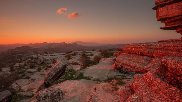
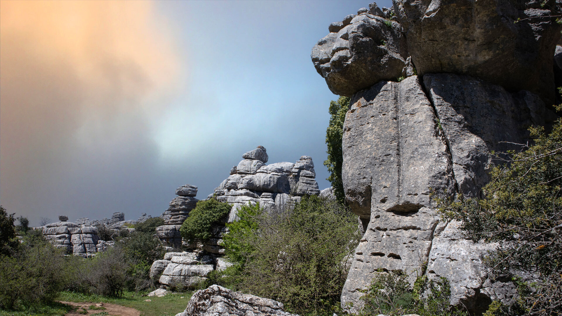
At first glance, El Torcal seems very dry. Anyone climbing onto the plateau in high summer sees fossilised rock layers, sharp-edged lapiaz, the occasional hedgehog broom — but no stream, no watercourse, no visible spring. The impression is deceptive. The karst of El Torcal is one of the largest natural water reservoirs in Andalusia.
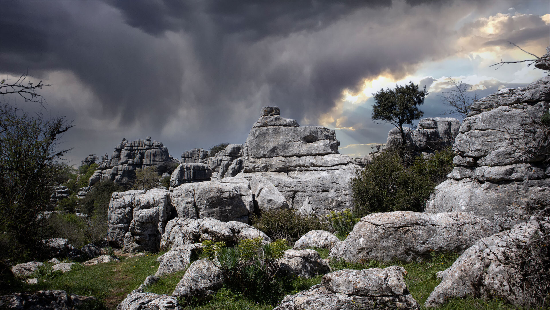
About 15.5 billion litres of groundwater are stored inside the massif — enough to supply the households of Antequera and Villanueva de la Concepción for around seven years. The mechanism is as elegant as it is ancient: water in El Torcal seeps down through thousands of fissures in the rock, collects in cavities and re-emerges at a few points in a controlled way. The most important outlet is the Manantial de la Villa in the north — the main spring where the town of Antequera draws its drinking water.
A karst landscape works like a sponge. What is surprising about El Torcal is just how much this sponge can really hold.
Karst as a sponge: how El Torcal stores water
The water system beneath El Torcal de Antequera is not a reservoir, not a lake, not a clearly defined cavity. It is a three-dimensional network of fissures, joints, channels and chambers that has formed over the last 60 million years through karst weathering. Rainwater absorbs carbon dioxide from the atmosphere, becomes weak carbonic acid, and dissolves the limestone as it seeps down. What was once a tiny crack becomes, over time, a substantial water-bearing channel.
The result is a reservoir that fills across a wide area. Every rainfall over the park’s 17 square kilometres feeds it — some evaporates or runs off above ground, while the rest keeps the underground reserves alive. The karst landscape thus acts like a natural filtration system: suspended particles are trapped in the rock, and what emerges is clean, mineral-rich groundwater.
From rainfall to rock fissure
A raindrop’s journey through the karst begins on the surface. On the plateau it encounters either a lapiaz — the sharp-edged grooves in the rock — or a doline, a circular depression that acts like a funnel. From there it seeps down along a joint, sometimes only a few metres, sometimes over a hundred.
Along the way it widens the joints slightly further — karst weathering never rests. Even at this very hour, while someone is hiking the Ruta Verde, the water is at work on the limestone somewhere two metres beneath their feet.
Where the water collects
Deep within the massif, the seeping water reaches a layer it cannot pass through. There it backs up, fills cavities, and forms an underground body of water. Unlike a surface lake, there is no clear water surface; the water sits within a system of connected spaces, like a sponge soaked with water. From this reservoir it flows slowly towards the natural outlets — above all to the Manantial de la Villa.
Manantial de la Villa: where the mountain releases its water
In the north of the park, at the transition to the fertile Guadalhorce valley, the karst water emerges at one central point: the Manantial de la Villa. The name literally means ‘spring of the town’ — and it lives up to it. What comes out of the mountain here has been the main water source for the nearby town of Antequera for centuries.
The largest spring in the groundwater reservoir
Manantial de la Villa is the most productive outlet of the El Torcal groundwater system. It lies at the northern foot of the massif, where the karst meets the flatter layers of the valley. The water stored in the mountain seeks the lowest point at which it can leave the limestone layers, arriving at the surface filtered and mineral-rich. Its flow rate varies over the course of the year — stronger after wet winters, weaker in late summer.
What the spring means for Antequera
Antequera is an old town — already settled in Roman times, later Moorish, then Christian. A constant water supply was fundamental to every one of these periods, and the Manantial de la Villa has secured it for centuries. Even today the spring covers a substantial part of the town’s drinking water needs. The karst of El Torcal is thus more than a tourist attraction — it is functioning infrastructure. Anyone hiking across the plateau is walking over the catchment area of a natural waterworks.
15.5 billion litres – seven years of water reserves
The figure sounds abstract at first. 15.5 billion litres is the estimated total capacity of the karst groundwater reservoir beneath El Torcal. Translated into everyday terms: this amount could supply the households of Antequera and Villanueva de la Concepción for around seven years, even without a single drop of rain falling during that time.
A figure in context
For comparison: an Olympic swimming pool holds 2.5 million litres. The karst reservoir of El Torcal is therefore roughly equivalent to 6,200 swimming pools full of water, distributed throughout a mountain massif that, from a distance, looks like a compact mass of rock. The actual ‘reservoir’ is not a single space but the sum of all the joints, channels and chambers that run through the rock.
This capacity is not static. It is replenished by rainfall and reduced by spring discharge and water extraction. In drought years — which are becoming increasingly frequent in Andalusia — the reservoir becomes a vital reserve.
Why karst is a reliable reservoir
Karst aquifers have three advantages over surface reservoirs. First, no water evaporates, because it sits within the mountain. Second, it stays cool and is therefore less prone to biological contamination. Third, natural filtration through the limestone works reliably. The drawbacks: the reservoir responds sluggishly, overuse cannot be quickly offset, and pollutants in the catchment area reach the aquifer unfiltered. This is precisely why the protected status of the nature park matters not only for vultures and peonies — it also safeguards the water quality for the town below.
Water above ground: pilas, gorges, hollows
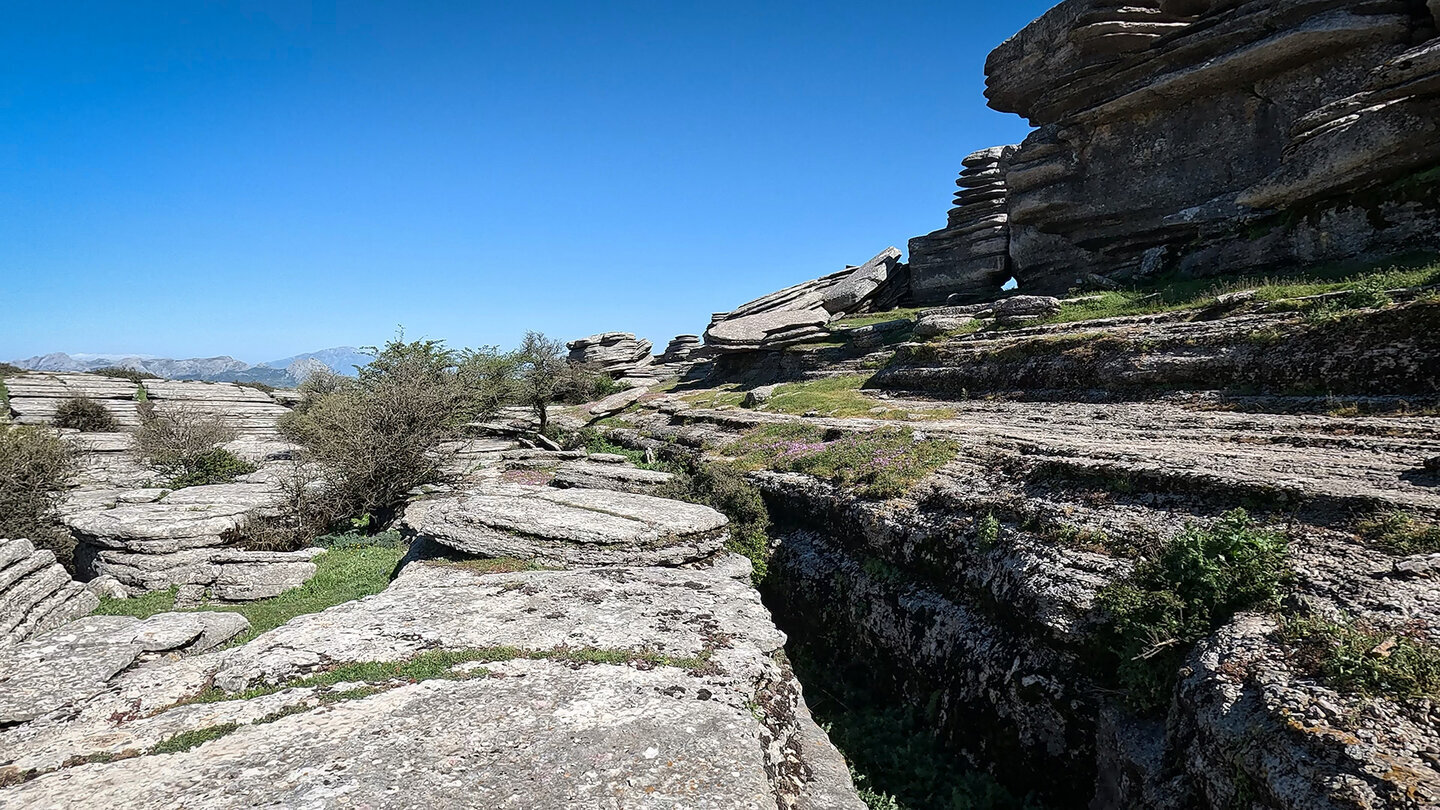
As invisible as the groundwater is, the water in El Torcal certainly leaves its mark above ground. Anyone walking through the park with their eyes open will notice a series of water-shaped karst features that make the mountain’s inner workings tangible.
What hikers can see
The most striking feature is the pilas — flat, round basins washed out of horizontal rock slabs by rain and standing water. Some are the size of a hand, others several metres across. In spring they are often filled with water, in high summer they are dry. On the Ruta Amarilla and the Grand Circuit they can be seen directly beside the path at several points.
Then there is the lapiaz — the sharp-edged grooves and furrows that water has carved into the rock over thousands of years. ‘Lapiaz Agrio de Caracol’ is one of the most spectacular sections and lies along the Grand Circuit. Every furrow is the trace of a current that once flowed here.
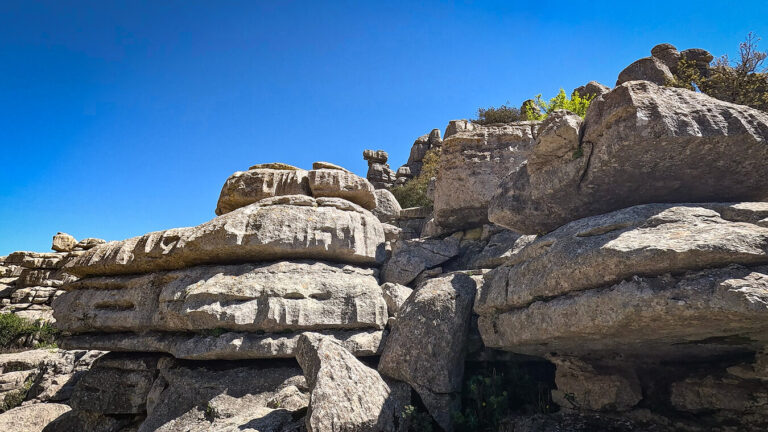
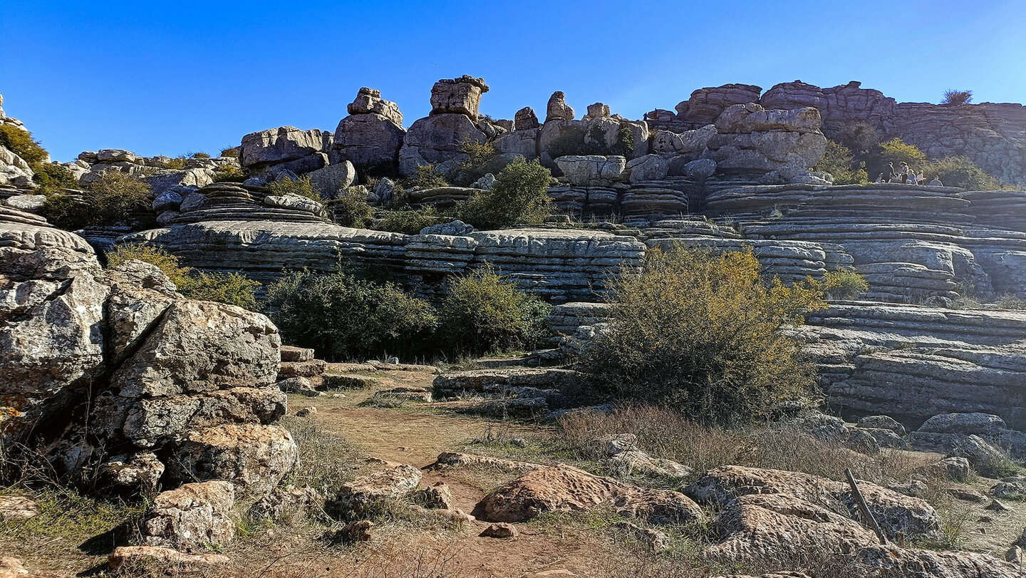 Layered rock in the karst mountains of El Torcal de Antequera
The La Unión and Rasca gorges
Where large volumes of water flowed in concentrated form over long periods, gorges formed. The most important ones in El Torcal are La Unión and Rasca. Neither is developed for hikers, though their entrances can be spotted from various points along the paths — they show what happens when the karst, in cases of extreme rainfall, exceptionally drains above ground.
| Water observation in El Torcal | |
|---|---|
| Best season | March to May for full pilas and visible water effects. After a wet winter, the karst features are especially abundant. High summer shows the other extreme — dry basins, dusty lapiaz. |
| Where pilas are visible | On the Ruta Amarilla and the Grand Circuit at several points directly beside the path. Some are as small as a soup bowl, others several metres across. |
| Lapiaz Agrio de Caracol | The most spectacular lapiaz section lies along the Grand Circuit. Here the water shows what it leaves behind over thousands of years in sharp-edged furrows — karst erosion in detail. |
| Manantial de la Villa | The main spring of the groundwater reservoir lies at the northern foot of the massif, outside the waymarked hiking routes. Anyone wanting to see the spring should ask at the visitor centre for current access information. |
| What is not allowed | Do not throw anything into the pilas, do not take water from karst basins, do not collect sediment. The aquifer is sensitive to contamination — even small interferences at the top can affect water quality further down. |
Conclusion – water and the groundwater reservoir in El Torcal
What appears on the surface of El Torcal as dry karst is in reality the region’s largest natural water reservoir — 15.5 billion litres of groundwater within the mountain, seven years of reserves for Antequera and Villanueva de la Concepción, fed by the Manantial de la Villa in the north. How the karst came to form in the first place, and why it holds water so well, is described in the article on karst erosion. What lies beneath the surface in terms of cavities is shown in caves and shafts. What stands on the surface — El Tornillo, El Sombrerillo, Las Meninas — is covered in the article on rock formations. Overview of the nature park: karst landscape of El Torcal.
Frequently asked questions
How much water does the karst of El Torcal hold?
Where is the main spring of the groundwater reservoir?
How does the karst water system work?
Does El Torcal supply the town of Antequera with water?
Can the springs be visited?
This article is based on the on-the-ground knowledge of the Gequo editorial team – publisher of several travel-season hiking guides and operator of Sunhikes.com. As of: May 2026